Alamillo, New Mexico
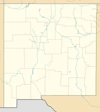
Alamillo is an unincorporated community and census-designated place in Socorro County, New Mexico, United States. Its population was 102 as of the 2010 census.[4] Interstate 25 passes through the community.
Alamillo, New Mexico | |
|---|---|
 Alamillo | |
| Coordinates: 34°15′17″N 106°54′58″W | |
| Country | United States |
| State | New Mexico |
| County | Socorro |
| Area | |
| • Total | 1.20 sq mi (3.11 km2) |
| • Land | 1.20 sq mi (3.11 km2) |
| • Water | 0.00 sq mi (0.00 km2) |
| Elevation | 4,678 ft (1,426 m) |
| Population | |
| • Total | 124 |
| • Density | 103.33/sq mi (39.88/km2) |
| Time zone | UTC-7 (Mountain (MST)) |
| • Summer (DST) | UTC-6 (MDT) |
| Area code | 575 |
| GNIS feature ID | 899495[3] |
Geography
Alamillo is located at 34.2547889°N 106.9161402°W.[3] According to the U.S. Census Bureau, the community has an area of 1.200 square miles (3.11 km2), all land.[4]
Education
It is within Socorro Consolidated Schools.[6] Socorro High School is the comprehensive high school of the district.
References
- "ArcGIS REST Services Directory". United States Census Bureau. Retrieved October 12, 2022.
- "Census Population API". United States Census Bureau. Retrieved October 12, 2022.
- "Alamillo". Geographic Names Information System. United States Geological Survey, United States Department of the Interior.
- "2010 Census Gazetteer Files - Places: New Mexico". U.S. Census Bureau. Retrieved December 22, 2016.
- "Census of Population and Housing". Census.gov. Retrieved June 4, 2016.
- "2020 CENSUS - SCHOOL DISTRICT REFERENCE MAP: Socorro County, NM" (PDF). U.S. Census Bureau. Retrieved July 14, 2022.
Municipalities and communities of Socorro County, New Mexico, United States | ||
|---|---|---|
| City | 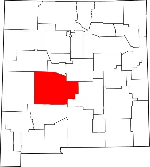 Map of New Mexico highlighting Socorro County | |
| Village | ||
| CDPs | ||
| Other communities | ||
| Populated places | ||
| Indian reservations | ||
| Ghost towns | ||
| Footnotes | ‡This populated place also has portions in an adjacent county or counties | |
This article is issued from Wikipedia. The text is licensed under Creative Commons - Attribution - Sharealike. Additional terms may apply for the media files.