Airani Chitalia
Airani Chitalia is a village in the Tufanganj I CD block in the Tufanganj subdivision of the Cooch Behar district in West Bengal, India
Airani Chitalia | |
|---|---|
Village | |
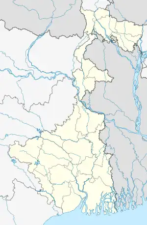
 Airani Chitalia Location in West Bengal, India  Airani Chitalia Airani Chitalia (India) | |
| Coordinates: 26.3375°N 89.5529°E | |
| Country | |
| State | West Bengal |
| District | Cooch Behar |
| Population (2011) | |
| • Total | 5,036 |
| Time zone | UTC+5:30 (IST) |
| PIN | 736156 |
| Telephone/STD code | 03582 |
| Vehicle registration | WB |
| Lok Sabha constituency | Cooch Behar |
| Vidhan Sabha constituency | Natabari |
| Website | coochbehar |
Geography
CT: census town, M: municipal town, R: rural/ urban centre, H: historical/ religious centre
Owing to space constraints in the small map, the actual locations in a larger map may vary slightly
Location
Airani Chitalia is located at 26.3375°N 89.5529°E.
Area overview
The map alongside shows the eastern part of the district. In Tufanganj subdivision 6.97% of the population lives in the urban areas and 93.02% lives in the rural areas. In Dinhata subdivision 5.98% of the population lives in the urban areas and 94.02% lives in the urban areas.[1] The entire district forms the flat alluvial flood plains of mighty rivers.[2]
Note: The map alongside presents some of the notable locations in the subdivisions. All places marked in the map are linked in the larger full screen map.
Demographics
As per the 2011 Census of India, Airani Chitalia had a total population of 5,036. There were 2,604 (52%) males and 2,432 (48%) females. There were 546 persons in the age range of 0 to 6 years. The total number of literate people in Airan Chitalia was 3,669 (81.71% of the population over 6 years).[3]
Culture
Among the temples of Airani Chitalia, the temple of Chandithakurani is famous. The original temple was erected by a Nazir of the Cooch Behar State (possibly by Khagendra Narayan). In those days the village was called Chithalia Dalbari. The original temple seems to have been destroyed long ago and a new one came up in its place. The present temple is a tin-roofed structure.[4]
References
- "District Statistical Handbook 2013 Cooch Behar". Tables 2.2, 2.4b. Department of Planning and Statistics, Government of West Bengal. Archived from the original on 21 January 2019. Retrieved 5 August 2020.
- "District Census Handbook, Koch Bihar, Series 20, Part XIIA" (PDF). Census of India 2011, pages 17-21 Physical feafures. Directorate of Census Operations, West Bengal. Retrieved 5 August 2020.
- "C.D. Block Wise Primary Abstract Data(PCA)". West Bengal – District-wise CD Blocks. Registrar General and Census Commissioner, India. Retrieved 3 August 2020.
- Koch Bihar Jelar Purakirti (in Bengali), Data compilation and writing by Dr. Shyamachand Mukhopadhayay, published by the Department of Archaeology, Government of West Bengal, Second edition 1974, Page 29.