Aghvorik
Aghvorik (Armenian: Աղվորիկ) is a village in the Amasia Municipality of the Shirak Province of Armenia.
Aghvorik
Աղվորիկ | |
|---|---|
 Aghvorik 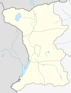 Aghvorik | |
| Coordinates: 41°04′33″N 43°45′18″E | |
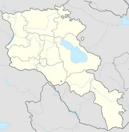
| Country | Armenia |
| Province | Shirak |
| Municipality | Amasia |
| Elevation | 2,050 m (6,730 ft) |
| Population (2010) | |
| • Total | 142 |
| Time zone | UTC+4 |
| • Summer (DST) | UTC+5 |
| Climate | Dfb |
| Aghvorik at GEOnet Names Server | |
History
Some of the ancestors of the village population emigrated from Western Armenia in 1828–1830. The village was mostly populated by Azerbaijanis. In 1988-1989, during the Nagorno-Karabakh conflict, local Azeris moved to Azerbaijan, and Armenian families resettled in the village.[1]
Demographics
| Year | Pop. | ±% p.a. |
|---|---|---|
| 1896 | 285 | — |
| 1897 | 406 | +42.46% |
| 1926 | 457 | +0.41% |
| 1939 | 595 | +2.05% |
| 1959 | 703 | +0.84% |
| 1970 | 1,072 | +3.91% |
| 1979 | 1,091 | +0.20% |
| 1989 | 45 | −27.30% |
| 2001 | 90 | +5.95% |
| 2004 | 110 | +6.92% |
| 2010 | 118 | +1.18% |
| 2013 | 142 | +6.37% |
| Source: [2][3][1] | ||
References
- "Աղվորիկ" (PDF). shirak.mtad.am. Archived (PDF) from the original on 2019-11-26. Retrieved 14 February 2021.
- Հայաստանի Հանրապետության բնակավայրերի բառարան [Republic of Armenia settlements dictionary] (PDF) (in Armenian). Yerevan: Cadastre Committee of the Republic of Armenia. 2008. Archived from the original (PDF) on 11 March 2018.
- "Marzes of Armenia and Yerevan City in Figures, 2010" (PDF). Statistical Committee of Armenia.
Capital: Gyumri | ||
| Urban settlements | 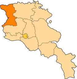 | |
| Akhuryan Municipality | ||
| Amasia Municipality | ||
| Ani Municipality | ||
| Artik Municipality | ||
| Ashotsk Municipality | ||
This article is issued from Wikipedia. The text is licensed under Creative Commons - Attribution - Sharealike. Additional terms may apply for the media files.