Şarkikaraağaç District
Şarkikaraağaç District is a district of the Isparta Province of Turkey. Its seat is the town of Şarkikaraağaç.[1] Its area is 1,068 km2,[2] and its population is 24,660 (2022).[3]
Şarkikaraağaç District | |
|---|---|
 Map showing Şarkikaraağaç District in Isparta Province | |
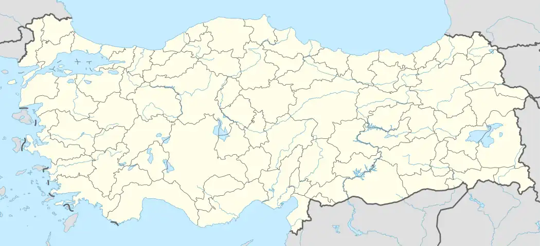 Şarkikaraağaç District Location in Turkey | |
| Coordinates: 38°05′N 31°22′E | |
| Country | Turkey |
| Province | Isparta |
| Seat | Şarkikaraağaç |
| Government | |
| • Kaymakam | Talha Atılay Teymur |
| Area | 1,068 km2 (412 sq mi) |
| Population (2022) | 24,660 |
| • Density | 23/km2 (60/sq mi) |
| Time zone | TRT (UTC+3) |
| Website | www |
Composition
There are three municipalities in Şarkikaraağaç District:[1][4]
There are 26 villages in Şarkikaraağaç District:[5]
- Arak
- Armutlu
- Arslandoğmuş
- Aşağıdinek
- Başdeğirmen
- Belceğiz
- Beyköy
- Çaltı
- Çavundur
- Çeltek
- Fakılar
- Gedikli
- Göksöğüt
- Karayaka
- Kıyakdede
- Köprüköy
- Muratbağı
- Ördekçi
- Örenköy
- Salur
- Sarıkaya
- Yakaemir
- Yassıbel
- Yenicekale
- Yeniköy
- Yukarıdinek
References
- İlçe Belediyesi, Turkey Civil Administration Departments Inventory. Retrieved 1 March 2023.
- "İl ve İlçe Yüz ölçümleri". General Directorate of Mapping. Retrieved 1 March 2023.
- "Address-based population registration system (ADNKS) results dated 31 December 2022, Favorite Reports" (XLS). TÜİK. Retrieved 13 March 2023.
- Belde Belediyesi, Turkey Civil Administration Departments Inventory. Retrieved 1 March 2023.
- Köy, Turkey Civil Administration Departments Inventory. Retrieved 1 March 2023.
Şarkikaraağaç District in Isparta Province of Turkey | |||||||||||||||||||||||||||
|---|---|---|---|---|---|---|---|---|---|---|---|---|---|---|---|---|---|---|---|---|---|---|---|---|---|---|---|
| Districts | 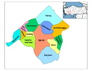 Districts of Isparta | ||||||||||||||||||||||||||
| |||||||||||||||||||||||||||
Metropolitan municipalities are bolded. | |||||||||||||||||||||||||||
| Municipalities | |
|---|---|
| Villages |
|
This article is issued from Wikipedia. The text is licensed under Creative Commons - Attribution - Sharealike. Additional terms may apply for the media files.