Česká Kubice
Česká Kubice (German: Böhmisch Kubitzen) is a municipality and village in Domažlice District in the Plzeň Region of the Czech Republic. It has about 900 inhabitants.
Česká Kubice | |
|---|---|
 Municipal office | |
 Flag  Coat of arms | |
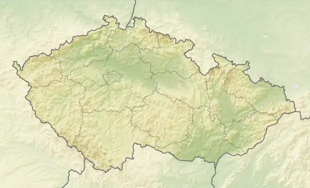 Česká Kubice Location in the Czech Republic | |
| Coordinates: 49°22′12″N 12°50′40″E | |
| Country | |
| Region | Plzeň |
| District | Domažlice |
| First mentioned | 1697 |
| Area | |
| • Total | 45.96 km2 (17.75 sq mi) |
| Elevation | 552 m (1,811 ft) |
| Population (2023-01-01)[1] | |
| • Total | 936 |
| • Density | 20/km2 (53/sq mi) |
| Time zone | UTC+1 (CET) |
| • Summer (DST) | UTC+2 (CEST) |
| Postal codes | 345 01, 345 32 |
| Website | www |
Administrative parts
Villages of Dolní Folmava, Horní Folmava, Nová Kubice, Nový Spálenec, Spáleneček and Starý Spálenec are administrative parts of Česká Kubice.
Geography
Česká Kubice is located about 9 kilometres (6 mi) southwest of Domažlice and 54 km (34 mi) southwest of Plzeň. The eastern part of the municipal territory lies in the Cham-Furth Depression, the western part lies in the Upper Palatinate Forest and borders Germany. The peak of the highest mountain of the Upper Palatinate Forest, Čerchov at 1,042 m (3,419 ft) above sea level, is situated on the northwestern municipal border.
Gallery
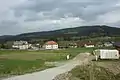 Northern limit of the Česká Kubice
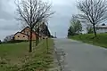 North-eastern part of Česká Kubice
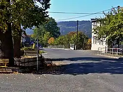
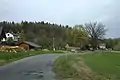 Main road
This article is issued from Wikipedia. The text is licensed under Creative Commons - Attribution - Sharealike. Additional terms may apply for the media files.