Çanta, Silivri
Çanta (meaning "bag" in Turkish) is a settlement in the municipality and district of Silivri, Istanbul Province, Turkey. It consists of two neighbourhoods: Çanta Balaban and Çanta Sancaktepe.[1] Its population is 10,201 (2022).[2] Çanta was an independent municipality until it was merged into the municipality of Silivri in 2008.[3] It is on the European side of the city. It is accessible from the state road D.100 that runs from Istanbul to Edirne.
Çanta | |
|---|---|
 Primary school in Çanta | |
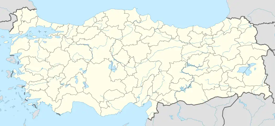 Çanta Location in Turkey 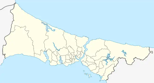 Çanta Çanta (Istanbul) | |
| Coordinates: 41°04′50″N 28°04′55″E | |
| Country | Turkey |
| Province | Istanbul |
| District | Silivri |
| Population (2022) | 10,201 |
| Time zone | TRT (UTC+3) |
| Postal code | 34570, 34580 |
| Area code | 0212 |

Road sign to Çanta at State road D.100.
Population
| Year | Pop. | ±% p.a. |
|---|---|---|
| 1970 | 1,709 | — |
| 1975 | 1,688 | −0.25% |
| 1980 | 1,843 | +1.77% |
| 1985 | 1,988 | +1.53% |
| 1990 | 1,835 | −1.59% |
| 1997 | 4,430 | +13.42% |
| 2007 | 5,869 | +2.85% |
| 2012 | 5,111 | −2.73% |
| 2017 | 8,102 | +9.65% |
| 2022 | 10,201 | +4.72% |
| Source: TÜIK (2007-2022)[4] | ||
See also
References
- Mahalle, Turkey Civil Administration Departments Inventory. Retrieved 12 July 2023.
- "Address-based population registration system (ADNKS) results dated 31 December 2022, Favorite Reports" (XLS). TÜİK. Retrieved 12 July 2023.
- Kanun No. 5747, Resmî Gazete, 22 March 2008.
- "Population Of Municipalities, Villages And Quarters". TÜIK. Retrieved 28 July 2023.
Wikimedia Commons has media related to Çanta, Silivri.
This article is issued from Wikipedia. The text is licensed under Creative Commons - Attribution - Sharealike. Additional terms may apply for the media files.