Waswanipi (Cree village municipality)
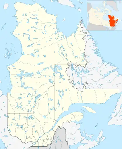
Waswanipi (Cree: ᐙᔂᓂᐲ or Wâswânipî) is a Cree village municipality in the territory of Eeyou Istchee in northern Quebec; it has a distinct legal status and classification from other kinds of village municipalities in Quebec: Naskapi village municipalities, northern villages (Inuit communities), and ordinary villages.
Waswanipi
ᐙᔂᓂᐲ Wâswânipî | |
|---|---|
 Waswanipi | |
| Coordinates (Édifice Diom-Blacksmith[1]): 49°44′N 76°10′W[2] | |
| Country | |
| Province | |
| Region | Nord-du-Québec |
| RCM | None |
| Constituted | June 28, 1978 |
| Government | |
| • Mayor | Paul Gull |
| • Prov. riding | Ungava |
| Area | |
| • Total | 232.40 km2 (89.73 sq mi) |
| • Land | 211.52 km2 (81.67 sq mi) |
| Population (2011)[3] | |
| • Total | 0 |
| • Density | 0.0/km2 (0/sq mi) |
| • Change (2006–11) | N/A |
| • Dwellings | 0 |
| Time zone | UTC−5 (EST) |
| • Summer (DST) | UTC−4 (EDT) |
| Postal code(s) | |
| Area code | 819 |
| Website | www |
As with all other Cree village municipalities in Quebec, there is a counterpart Cree reserved land of the same name located nearby: Waswanipi.
Despite the title of "village municipality" and the formalities that go along with it (for instance, having a mayor), Statistics Canada lists it (and all other Cree village municipalities in Quebec) as having no resident population or residential infrastructure (dwellings); it is the Cree reserved lands that are listed as having population and residential dwellings in the 2011 census, the 2006 census, and earlier censuses.
Demographics
In the 2021 Census of Population conducted by Statistics Canada, Waswanipi had a population of 0 living in 0 of its 0 total private dwellings, no change from its 2016 population of 0. With a land area of 213.35 km2 (82.37 sq mi), it had a population density of 0.0/km2 (0.0/sq mi) in 2021.[4]
References
- "Geographic code 99010 in the official Répertoire des municipalités". www.mamh.gouv.qc.ca (in French). Ministère des Affaires municipales et de l'Habitation.
- "Reference number 178469 in Banque de noms de lieux du Québec". toponymie.gouv.qc.ca (in French). Commission de toponymie du Québec.
- "Waswanipi (Cree village municipality) (Code 2499010) Census Profile". 2011 census. Government of Canada - Statistics Canada.
- "Population and dwelling counts: Canada, provinces and territories, and census subdivisions (municipalities), Quebec". Statistics Canada. February 9, 2022. Retrieved August 28, 2022.