Victor Mine Aerodrome
Victor Mine Aerodrome (TC LID: CVM2) is a registered aerodrome located 0.5 nautical miles (0.93 km; 0.58 mi) north of the Victor Diamond Mine in northeastern part of the Kenora District which, in turn, is located in northwestern Ontario, Canada.
Victor Mine Aerodrome | |||||||||||
|---|---|---|---|---|---|---|---|---|---|---|---|
| Summary | |||||||||||
| Airport type | Private | ||||||||||
| Operator | De Beers Canada, Inc. | ||||||||||
| Serves | Victor Diamond Mine | ||||||||||
| Location | Kenora District, Ontario, Canada | ||||||||||
| Time zone | EST (UTC−05:00) | ||||||||||
| • Summer (DST) | EDT (UTC−04:00) | ||||||||||
| Elevation AMSL | 291 ft / 89 m | ||||||||||
| Coordinates | 52°49′58″N 083°55′29″W | ||||||||||
| Map | |||||||||||
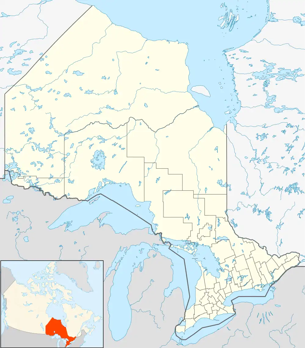 CVM2 Location in Ontario | |||||||||||
| Runways | |||||||||||
| |||||||||||
Sources: Canada Flight Supplement[1] | |||||||||||
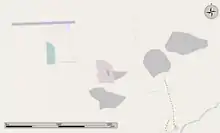
The Aerodrome is seen at the upper left, with the Victor Mine along the bottom of the image.
The airstrip handles small to mid size turboprop aircraft. There are no hangars or terminal buildings and the airstrip is accessed by a gravel road from the Victor mine pit.
References
- Canada Flight Supplement. Effective 0901Z 16 July 2020 to 0901Z 10 September 2020.
| By name | |
|---|---|
| By location indicator | |
| By province/territory | |
| By area | |
| National Airports System | |
| Related | |
| |
This article is issued from Wikipedia. The text is licensed under Creative Commons - Attribution - Sharealike. Additional terms may apply for the media files.