Verbivka, Kharkiv Oblast
Verbivka (Ukrainian: Вербівка; Russian: Вербовка) is a village in Izium Raion (district) in Kharkiv Oblast of eastern Ukraine, at about 71.0 kilometres (44.1 mi) southeast by south (SEbS) from the centre of Kharkiv city. It belongs to Balakliia urban hromada, one of the hromadas of Ukraine.
Verbivka
Вербівка | |
|---|---|
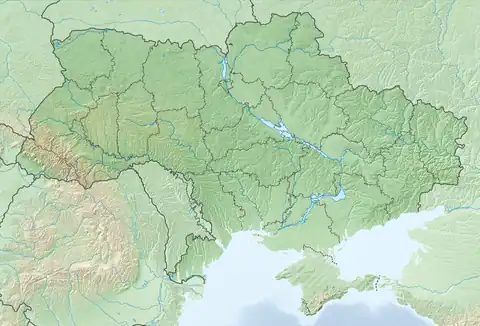
 Verbivka Location of Verbivka in Kharkiv Oblast  Verbivka Verbivka (Ukraine) | |
| Coordinates: 49.488261°N 36.829664°E | |
| Country | |
| Oblast | |
| Raion | Izium Raion |
| Founded | 1830 |
| Area | |
| • Total | 3.395 km2 (1.311 sq mi) |
| Elevation | 83 m (272 ft) |
| Population | |
| • Total | 3,507 |
| • Density | 1,000/km2 (2,700/sq mi) |
| Time zone | UTC+2 (EET) |
| • Summer (DST) | UTC+3 (EEST) |
| Postal code | 64219 |
| Area code | +380 5749 |
Until 18 July 2020, Verbivka belonged to Balakliia Raion. The raion was abolished in July 2020 as part of the administrative reform of Ukraine, which reduced the number of raions of Kharkiv Oblast to seven. The area of Balakliia Raion was merged into Izium Raion.[2][3]
The settlement came under attack by Russian forces during the Russian invasion of Ukraine in 2022 and was regained by Ukrainian forces in the beginning of September the same year.[4]
References
- "Офіційна сторінка Всеукраїнського перепису населення | Банк даних" [All-Ukrainian population census | Database]. ukrcensus.gov.ua (in Ukrainian). Retrieved 28 December 2022.
- "Про утворення та ліквідацію районів. Постанова Верховної Ради України № 807-ІХ". Голос України (in Ukrainian). 18 July 2020. Retrieved 3 October 2020.
- "Нові райони: карти + склад" (in Ukrainian). Міністерство розвитку громад та територій України. 17 July 2020.
- Karolina Hird; George Barros; Layne Philipson; Frederick W. Kagan (6 September 2022). "Russian Offensive Campaign Assessment, September 6". understandingwar.org. ISW. Retrieved 28 December 2022.
Geolocated footage posted on September 6 shows Ukrainian infantry in eastern Verbivka (less than 3 km from Balakliya).
This article is issued from Wikipedia. The text is licensed under Creative Commons - Attribution - Sharealike. Additional terms may apply for the media files.