Unterrothorn
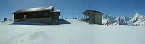
The Unterrothorn (or simply Rothorn) is a mountain of the Swiss Pennine Alps, overlooking Zermatt in the canton of Valais. It is located west of the Oberrothorn, on the range north of the Findel Glacier.
| Unterrothorn | |
|---|---|
 | |
| Highest point | |
| Elevation | 3,104 m (10,184 ft) |
| Prominence | 123 m (404 ft)[1] |
| Parent peak | Monte Rosa |
| Coordinates | 46°01′19″N 7°47′51″E |
| Geography | |
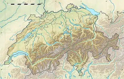 Unterrothorn Location in Switzerland | |
| Location | Valais, Switzerland |
| Parent range | Pennine Alps |
| Climbing | |
| Easiest route | Cable car |
The summit can be reached by cable car via Sunnegga and Blauherd. The Rothorn paradise is one of the main ski areas located around Zermatt.
References
- Retrieved from the Swisstopo topographic maps. The key col is the Furggji (2,981 m).
This article is issued from Wikipedia. The text is licensed under Creative Commons - Attribution - Sharealike. Additional terms may apply for the media files.