Tregoodwell
Tregoodwell is a hamlet half a mile east of Camelford in Cornwall, England, UK. It is on the road towards Rough Tor.[1]

The brook near Tregoodwell
| Tregoodwell | |
|---|---|
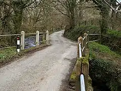 Bridge over Tregoodwell Brook, near Camelford, Cornwall | |
 Tregoodwell Location within Cornwall | |
| OS grid reference | SX113837 |
| Unitary authority | |
| Ceremonial county | |
| Region | |
| Country | England |
| Sovereign state | United Kingdom |
References
- Ordnance Survey One-inch Map of Great Britain; Bodmin and Launceston, sheet 186. 1961.
| Unitary authorities | |
|---|---|
| Major settlements (cities in italics) |
|
| Rivers | |
| Topics | |
This article is issued from Wikipedia. The text is licensed under Creative Commons - Attribution - Sharealike. Additional terms may apply for the media files.