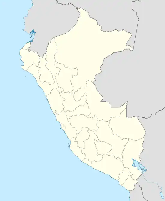
Tinta, Cuzco
Tinta is the capital town of Tinta District, Canchis Province, Department of Cuzco, Peru. It is located at an altitude of 3,836 meters above the sea level.[1] As of the year 2017, it had a total population of 2,910.[2]
Tinta | |
|---|---|
Locality | |
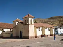 St. Bartholomew's Church within the town | |
 Tinta | |
| Coordinates: 14°08′40″S 71°24′20″W | |
| Country | |
| Department | Cuzco |
| Province | Canchis |
| District | Tinta |
| Elevation | 3,836 m (12,585 ft) |
| Population (2017) | |
| • Total | 2,910 |
| Time zone | UTC-5 (PET) |
Climate
Tinta has a Tundra Climate (ET) under the Köppen Climate Classification. It sees the most precipitation in January, with an average rainfall of 239 mm; and the least precipitation in July, with an average rainfall of 15 mm.
| Climate data for Tinta | |||||||||||||
|---|---|---|---|---|---|---|---|---|---|---|---|---|---|
| Month | Jan | Feb | Mar | Apr | May | Jun | Jul | Aug | Sep | Oct | Nov | Dec | Year |
| Average high °C (°F) | 12.8 (55.0) |
12.7 (54.9) |
12.9 (55.2) |
12.7 (54.9) |
12.4 (54.3) |
12.3 (54.1) |
12.2 (54.0) |
13.4 (56.1) |
14.0 (57.2) |
14.1 (57.4) |
14.1 (57.4) |
13.3 (55.9) |
13.1 (55.5) |
| Daily mean °C (°F) | 8.0 (46.4) |
8.0 (46.4) |
8.0 (46.4) |
7.5 (45.5) |
6.8 (44.2) |
6.0 (42.8) |
5.6 (42.1) |
6.4 (43.5) |
7.5 (45.5) |
8.2 (46.8) |
8.6 (47.5) |
8.3 (46.9) |
7.4 (45.3) |
| Average low °C (°F) | 4.3 (39.7) |
4.3 (39.7) |
4.0 (39.2) |
2.8 (37.0) |
1.2 (34.2) |
0.1 (32.2) |
−0.6 (30.9) |
−0.1 (31.8) |
1.5 (34.7) |
3.1 (37.6) |
3.8 (38.8) |
4.3 (39.7) |
2.4 (36.3) |
| Average rainfall mm (inches) | 239 (9.4) |
221 (8.7) |
195 (7.7) |
95 (3.7) |
34 (1.3) |
16 (0.6) |
15 (0.6) |
26 (1.0) |
55 (2.2) |
112 (4.4) |
140 (5.5) |
196 (7.7) |
1,344 (52.8) |
| Source: Climate-Data.org[3] | |||||||||||||
See also
References
- "Tinta topographic map, elevation, terrain". Topographic maps. Retrieved 9 August 2023.
- "Tinta (Canchis, Cusco Region, Peru) - Population Statistics, Charts, Map, Location, Weather and Web Information". www.citypopulation.de. Retrieved 9 August 2023.
- "Tinta climate: Temperature Tinta & Weather By Month - Climate-Data.org". en.climate-data.org. Retrieved 9 August 2023.
This article is issued from Wikipedia. The text is licensed under Creative Commons - Attribution - Sharealike. Additional terms may apply for the media files.