Ghriss Airport
Ghriss Airport (IATA: MUW, ICAO: DAOV) is a civilian airport in Mascara Province, Algeria, located 5.0 km southwest of the town of Ghriss, Algeria.
Ghriss Airport | |||||||||||
|---|---|---|---|---|---|---|---|---|---|---|---|
| Summary | |||||||||||
| Airport type | Public | ||||||||||
| Serves | Mascara, Algeria | ||||||||||
| Location | Ghriss, Algeria | ||||||||||
| Elevation AMSL | 1,686 ft / 514 m | ||||||||||
| Coordinates | 35°12′28″N 000°08′50″E | ||||||||||
| Map | |||||||||||
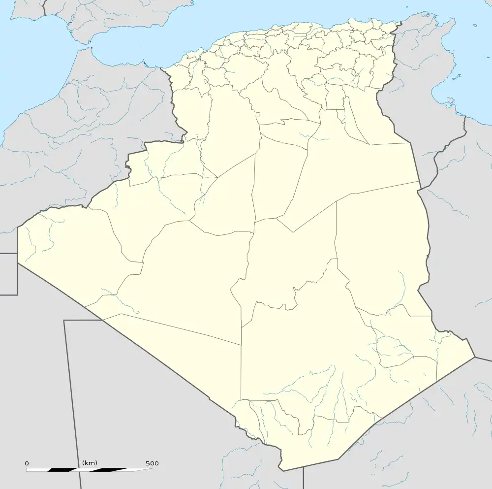 MUW Location of airport in Algeria | |||||||||||
| Runways | |||||||||||
| |||||||||||
World War II
During World War II, the facility was known as "Thiersville Airfield". It was a Twelfth Air Force base of operations during the North African Campaign used by the 60th Troop Carrier Group, which flew C-47 Skytrain transports from the airfield between May and June 1943.
Airlines and destinations
| Airlines | Destinations |
|---|---|
| Tassili Airlines | Algiers[1] |
References
![]() This article incorporates public domain material from the Air Force Historical Research Agency.
This article incorporates public domain material from the Air Force Historical Research Agency.
- Maurer, Maurer. Air Force Combat Units of World War II. Maxwell AFB, Alabama: Office of Air Force History, 1983. ISBN 0-89201-092-4.
- Liu, Jim. "Tassili Airlines adds new domestic routes in March 2020". Routesonline. Retrieved 26 February 2020.
External links
- Google Maps - Ghriss
- Accident history for MUV at Aviation Safety Network
- Airport information for DAOV at Great Circle Mapper.
- Current weather for DAOV at NOAA/NWS
- Algerian AIP and Chart
This article is issued from Wikipedia. The text is licensed under Creative Commons - Attribution - Sharealike. Additional terms may apply for the media files.