List of Texas state parks
This is a list of state parks and state natural areas in Texas, United States, managed by the Texas Parks and Wildlife Department. Several state historic sites that used to be managed by Texas Parks and Wildlife are now managed by the Texas Historical Commission.

Texas State Parks (Hover mouse over pog to popup clickable link)
State parks
| Park Name | County or Counties | Size | Year Established | Image |
|---|---|---|---|---|
| Abilene State Park | Taylor | 529.4-acre (214.2 ha) | 1933 | 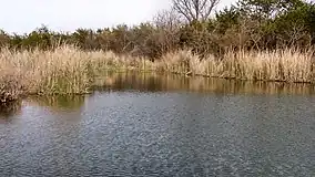 Abilene State Park |
| Atlanta State Park | Cass | 1,475 acres (597 ha) | 1954 | |
| Balmorhea State Park | Reeves | 751 acres (304 ha) | 1968 | 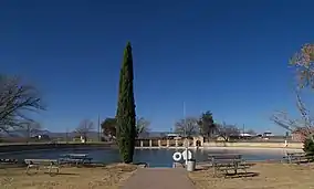 Balmorhea State Park Pool |
| Barton Warnock Visitor Center | Brewster | 99.9 acres | 1990 | |
| Bastrop State Park | Bastrop | 6,600 acres (2,700 ha) | 1937 | 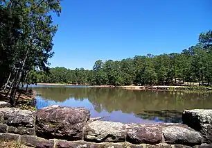 Bastrop State Park |
| Bentsen-Rio Grande Valley State Park | Hidalgo | 764 acres (309 ha) | 1944 | .jpg.webp) Bentsen-Rio Grande Valley State Park |
| Big Bend Ranch State Park | Presidio, Brewster | 311,000 acres (125,857 ha) | 1988 | 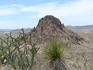 Big Bend Ranch State Park |
| Big Spring State Park | Howard | 381.99 acres (154.59 ha) | 1936 | 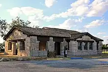 Big Spring State Park |
| Blanco State Park | Blanco | 104.6 acres (42.3 ha) | 1934 | 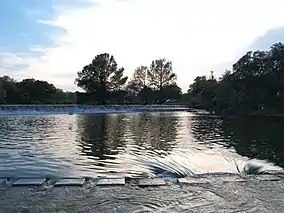 The Blanco River in Blanco State Park |
| Bonham State Park | Fannin | 261 acres (106 ha) | 1933 | 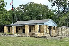 Bonham State Park headquarters |
| Brazos Bend State Park | Fort Bend | 4,897 acres (1,982 ha) | 1984 | 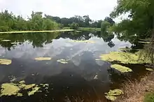 Brazos Bend State Park |
| Buescher State Park | Bastrop | 1,016.7 acres (411 ha) | 1940 | 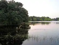 Buescher State Park |
| Caddo Lake State Park | Harrison | 468 acres (189 ha) | 1933 | 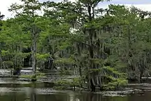 Caddo Lake State Park |
| Caprock Canyons State Park and Trailway | Briscoe | 15,314 acres (6,197 ha) | 1982 | 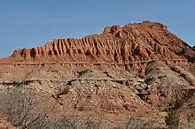 Caprock Canyons State Park and Trailway |
| Cedar Hill State Park - includes Penn Farm Agricultural History Center | Dallas | 1,826 acres (739 ha) | 1982 | 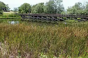 Cedar Hill State Park |
| Choke Canyon State Park - includes Calliham Unit and South Shore Unit | Live Oak, McMullen | 25,670 acres (10,390 ha) | 1987 | 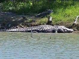 Alligator At Choke Canyon State Park |
| Cleburne State Park | Johnson | 528 acres (214 ha) | 1938 | .jpg.webp) Cedar Lake at Cleburne State Park |
| Colorado Bend State Park | Lampasas, San Saba | 5,328.3 acres (2,156 ha) | 1987 | 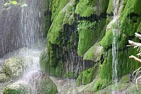 Colorado Bend State Park |
| Cooper Lake State Park - includes Doctors Creek Unit and South Sulphur Unit | Cooper | 3,026 acres (1,225 ha) | 1992 | 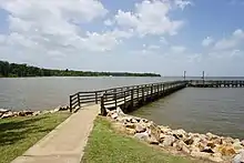 Cooper Lake State Park |
| Copper Breaks State Park | Hardeman | 1,898.8 acres (768 ha) | 1974 | 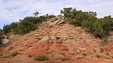 Copper Breaks State Park |
| Daingerfield State Park | Morris | 507 acres (205 ha) | 1938 | 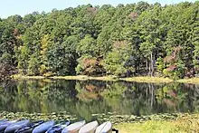 Daingerfield State Park |
| Davis Mountains State Park | Davis | 2,709 acres (1,096 ha) | 1938 | 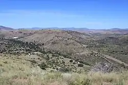 Davis Mountains State Park |
| Devils River State Natural Area - includes Dan Allen Hughes Unit and Del Norte Unit | Val Verde | 37,000 acres (15,000 ha) | 1988 | .jpg.webp) Devils River State Natural Area |
| Devil's Sinkhole State Natural Area | Edwards | 1,859.7 acres (752.6 ha) | 1985 | |
| Dinosaur Valley State Park | Somervell | 1,524.72 acres (617.03 ha) | 1972 | 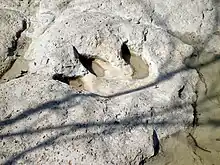 Dinosaur Valley State Park |
| Eisenhower State Park | Grayson | 463.1 acres (187.4 ha) | 1954 | |
| Enchanted Rock State Natural Area | Llano | 1,640.5 acres (663.9 ha) | 1978 |  Enchanted Rock State Natural Area |
| Estero Llano Grande State Park | Hidalgo | 230 acres (93 ha) | 2006 | .jpg.webp) Estero Llano Grande State Park |
| Fairfield Lake State Park | Freestone | 1,460 acres (591 ha) | 1976 | 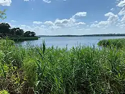 Fairfield Lake State Park |
| Falcon State Park | Zapata, Starr | 83,654 acres (33,854 ha) | 1965 | |
| Fort Boggy State Park | Leon | 1,847 acres (747 ha) | 1985 | 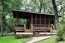 Fort Boggy State Park |
| Fort Leaton State Historic Site | Presidio | 23.4 acres (9.5 ha) | 1973 | 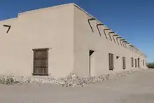 Fort Leaton State Historic Site |
| Fort Parker State Park | Limestone | 1,458.8 acres (590.4 ha) | 1941 | 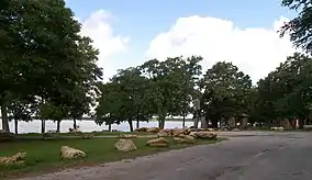 Fort Parker State Park |
| Fort Richardson State Park, Historic Site, and Lost Creek Reservoir State Trailway | Jack | 454.16 acres (183.79 ha) | 1968 | 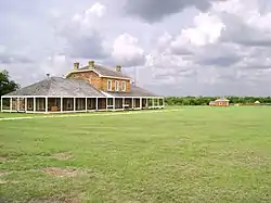 Fort Richardson State Park, Historic Site, and Lost Creek Reservoir State Trailway |
| Franklin Mountains State Park | El Paso | 24,247 acres (9,812 ha) | 1987 | 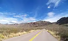 Franklin Mountains State Park |
| Galveston Island State Park | Galveston | 2,013.1 acres (814.7 ha) | 1975 | 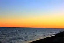 Galveston Island State Park |
| Garner State Park | Uvalde | 1,420 acres (570 ha) | 1941 | 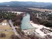 The Frio River in Garner State Park |
| Goliad State Park and Historic Site - includes Mission Rosario State Historic Site and Zaragoza Birthplace State Historic Site | Goliad | 188.3 acres (76 ha) | 1936 | 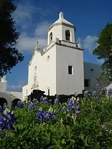 Goliad State Park and Historic Site |
| Goose Island State Park | Aransas | 321.4 acres (130 ha) | 1935 | 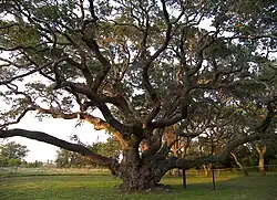 Goose Island State Park |
| Government Canyon State Natural Area | Bexar | 12,085 acres (4,891 ha) | 1993 | 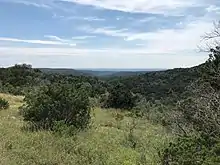 Government Canyon State Natural Area |
| Guadalupe River State Park | Comal, Kendall | 1,938.7 acres (785 ha) | 1983 | 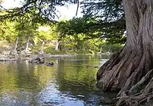 Guadalupe River State Park |
| Hill Country State Natural Area | Bandera, Medina | 5,369 acres (2,173 ha) | 1984 | 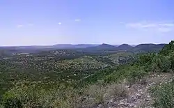 Hill Country State Natural Area |
| Honey Creek State Natural Area | Comal | 2,293.7 acres (928.2 ha) | 1985 | .jpg.webp) Honey Creek State Natural Area |
| Hueco Tanks State Park and Historic Site | El Paso | 860 acres (350 ha) | 1970 |  Hueco Tanks State Park and Historic Site |
| Huntsville State Park | Walker | 2,083.2-acre (843 ha) | 1956 | 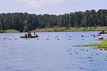 Huntsville State Park swimming area |
| Inks Lake State Park | Burnet | 1,201 acres (486 ha) | 1950 | 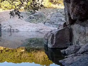 Inks Lake State Park |
| Kickapoo Cavern State Park | Kinney, Edwards | 6,368.4 acres (2,577.2 ha) | 1991 | 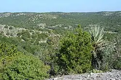 Kickapoo Cavern State Park |
| Lake Arrowhead State Park | Clay | 524 acres (212 ha) | 1970 | .jpg.webp) Lake Arrowhead State Park |
| Lake Bob Sandlin State Park | Titus, Camp, Franklin | 641 acres (259 ha) | 1987 | |
| Lake Brownwood State Park | Brown | 537.5 acres (218 ha) | 1938 | 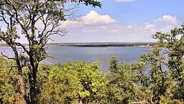 Lake Brownwood State Park |
| Lake Casa Blanca International State Park | Webb | 525 acres (212 ha) | 1991 | |
| Lake Colorado City State Park | Mitchell | 500 acres (200 ha) | 1972 | |
| Lake Corpus Christi State Park | San Patricio | 356 acres (144 ha) | 1934 | 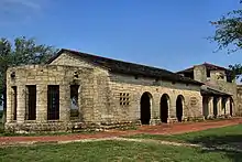 Lake Corpus Christi State Park |
| Lake Livingston State Park | Polk | 635 acres (257 ha) | 1977 | 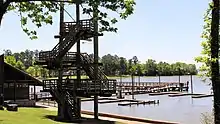 Lake Livingston State Park |
| Lake Mineral Wells State Park & Trailway | Parker | 3,282.5 acres (1,328.4 ha) | 1981 | 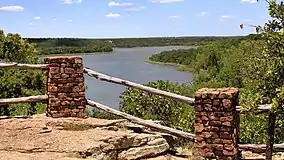 Lake Mineral Wells State Park |
| Lake Somerville State Park and Trailway - includes Birch Creek Unit and Nails Creek Unit | Burleson, Lee | 5,520 acres (2,233.9 ha) | 1970 | .jpg.webp) Lake Summerville State Park |
| Lake Tawakoni State Park | Hunt | 376 acres (14,900 ha) | 1984 | 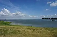 Lake Tawakoni State Park |
| Lake Whitney State Park | Hill | 1,280.7 acres (518.3 ha) | 1965 | |
| Lockhart State Park | Caldwell | 263.7 acres (107 ha) | 1948 | 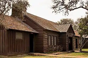 Lockhart State Park |
| Longhorn Cavern State Park | Burnet | 645.62 acres (261 ha) | 1976 | 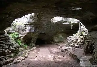 Longhorn Cavern State Park |
| Lost Maples State Natural Area | Bandera, Real | 2,906 acres (1,176 ha) | 1979 | 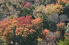 Lost Maples State Natural Area |
| Lyndon B. Johnson State Park and Historic Site - includes Sauer-Beckmann Living History Farm | Gillespie | 732.75 acres (297 ha) | 1965 | 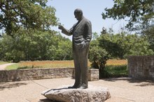 Lyndon B. Johnson State Park and Historic Site |
| Martin Creek Lake State Park | Rusk | 286.9 acres (116.1 ha) | 1976 | 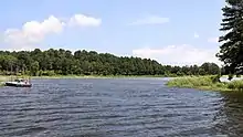 Martin Creek Lake State Park |
| Martin Dies, Jr. State Park | Jasper, Tyler | 730 acres (300 ha) | 1965 | 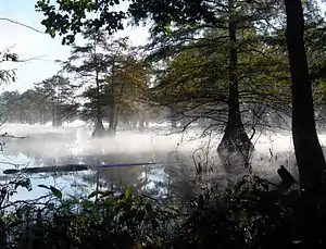 Martin Dies, Jr. State Park |
| McKinney Falls State Park | Travis | 744.4 acres (301 ha) | 1976 | 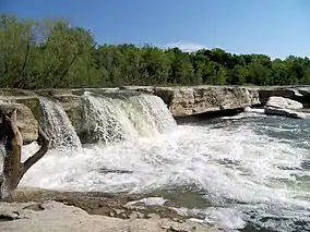 McKinney Falls State Park |
| Meridian State Park | Bosque | 505.4 acres (204.5 ha) | 1935 | 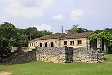 Meridian State Park |
| Mission Tejas State Park | Houston | 660 acres (270 ha) | 1957 | 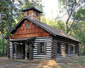 Mission Tejas State Park |
| Monahans Sandhills State Park | Ward, Winkler | 3,840 acres (1,550 ha) | 1957 | 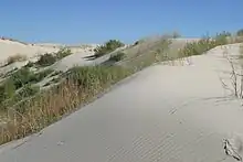 Monahans Sandhills State Park |
| Mother Neff State Park | Coryell | 259 acres (105 ha) | 1937 | 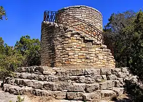 Mother Neff State Park |
| Mustang Island State Park | Nueces | 3,954 acres (1,600 ha) | 1979 | 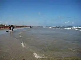 Mustang Island State Park |
| Old Tunnel State Park | Kendall | 16.1 acres (6.5 ha) | 2012 | 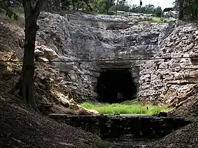 Old Tunnel State Park |
| Palmetto State Park | Gonzales | 270.3 acres (109 ha) | 1936 | 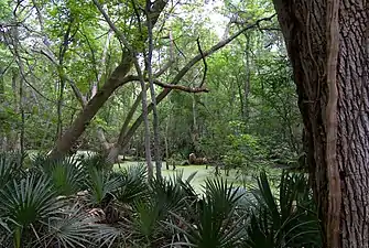 Palmetto State Park |
| Palo Duro Canyon State Park | Randall | 28,000 acres (11,331 ha) | 1934 | 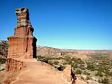 Palo Duro Canyon State Park |
| Palo Pinto Mountains State Park (under development) | Palo Pinto, Stephens | 4,000 acres (1,600 ha) | 2011 | |
| Pedernales Falls State Park | Blanco | 5,211.7 acres (2,109 ha) | 1971 | 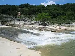 Pedernales Falls State Park |
| Possum Kingdom State Park | Palo Pinto | 1,528.7 acres (618.6 ha) | 1940 | 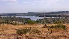 Possum Kingdom State Park |
| Purtis Creek State Park | Henderson, Van Zandt | 1,582.4 acres (640.4 ha) | 1988 | .jpg.webp) Purtis Creek State Park |
| Ray Roberts Lake State Park - includes Isle du Bois Unit, Johnson Branch Unit, Jordan Park Unit, Ray Roberts Greenbelt Corridor, and Sanger Marina Unit | Denton, Cooke, Grayson | 29,350 acres (11,880 ha) | 1993 | |
| Resaca de la Palma State Park | Cameron | 1,200 acres (490 ha) | 2008 | |
| San Angelo State Park | Tom Green | 7,677 acres (3,107 ha) | 1995 | 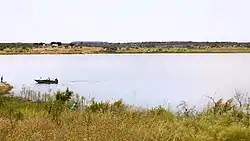 Fisher Lake and San Angelo State Park |
| Sea Rim State Park | Jefferson | 4,141 acres (1,676 ha) | 1977 | 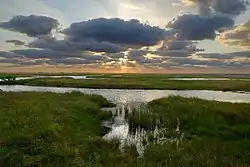 Sea Rim State Park |
| Seminole Canyon State Park and Historic Site | Val Verde | 2,172.5 acres (879.2 ha) | 1980 | 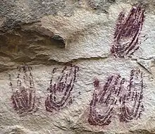 Seminole Canyon State Park and Historic Site |
| Sheldon Lake State Park and Environmental Learning Center | Harris | 1,200 acres (1133 ha) | 1984 | |
| South Llano River State Park | Kimble | 2,600 acres (1052 ha) | 1990 | 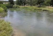 South Llano River State Park |
| Stephen F. Austin State Park | Austin | 663.3 acres (268 ha) | 1940 | 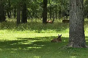 White-tailed deer in Stephen F. Austin State Park |
| Tyler State Park | Smith | 985.5 acres (399 ha) | 1939 | 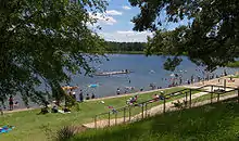 Tyler State Park |
| Village Creek State Park | Hardin | 1,090 acres (441 ha) | 1994 | |
| Wyler Aerial Tramway (closed) | El Paso | 196 acres (79.3 ha) | 2001 | 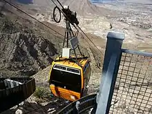 Wyler Aerial Tramway |
A
- Abilene State Park
- Albert and Bessie Kronkosky State Natural Area - under development
- Atlanta State Park
B
C
- Caddo Lake State Park
- Caprock Canyons State Park and Trailway
- Cedar Hill State Park - includes Penn Farm Agricultural History Center
- Chinati Mountains State Natural Area - not open to the public
- Choke Canyon State Park - includes Calliham Unit and South Shore Unit
- Cleburne State Park
- Colorado Bend State Park
- Cooper Lake State Park - includes Doctors Creek Unit and South Sulphur Unit
- Copper Breaks State Park
D
- Daingerfield State Park
- Davis Hill State Park - not open to the public
- Davis Mountains State Park
- Devil's Sinkhole State Natural Area - access by reservation only
- Devils River State Natural Area - includes Dan Allen Hughes Unit and Del Norte Unit
- Dinosaur Valley State Park
F
G
H
J
L
- Lake Arrowhead State Park
- Lake Bob Sandlin State Park
- Lake Brownwood State Park
- Lake Casa Blanca International State Park
- Lake Colorado City State Park
- Lake Corpus Christi State Park
- Lake Livingston State Park
- Lake Mineral Wells State Park & Trailway
- Lake Somerville State Park and Trailway - includes Birch Creek Unit and Nails Creek Unit
- Lake Tawakoni State Park
- Lake Whitney State Park
- Lockhart State Park
- Longhorn Cavern State Park
- Lost Maples State Natural Area
- Lyndon B. Johnson State Park and Historic Site - includes Sauer-Beckmann Living History Farm
M
N
P
- Palmetto State Park
- Palo Duro Canyon State Park
- Palo Pinto Mountains State Park - under development
- Pedernales Falls State Park
- Possum Kingdom State Park
- Powderhorn Ranch - not open to the public
- Purtis Creek State Park
Q
R
- Ray Roberts Lake State Park - includes Isle du Bois Unit, Johnson Branch Unit, Jordan Park Unit, Ray Roberts Greenbelt Corridor, and Sanger Marina Unit
- Resaca de la Palma State Park
S
- San Angelo State Park
- Sea Rim State Park
- Seminole Canyon State Park and Historic Site
- Sheldon Lake State Park and Environmental Learning Center
- South Llano River State Park
- Stephen F. Austin State Park
U
X
Y
Z
See also
External links
- Texas Parks & Wildlife Department - Texas State Park List and Map
- List of All Parks & Recreation Areas in Texas
- Parks Under the Lone Star, an online exhibit by the Texas Archive of the Moving Image, includes archival film and video footage of more than 50 Texas parks.
This article is issued from Wikipedia. The text is licensed under Creative Commons - Attribution - Sharealike. Additional terms may apply for the media files.