Tepojaco
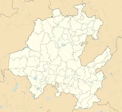
Tepojaco is locality in the municipality of Tizayuca, in the state of Hidalgo in central-eastern Mexico. It is located in Tizayuca Valley and is part of Greater Mexico City.
Tepojaco | |
|---|---|
Locality | |
 Tepojaco Location of Tepojaco  Tepojaco Tepojaco (Mexico) | |
| Coordinates: 19°50′31″N 98°56′46″W | |
| Country | |
| State | Hidalgo |
| Municipality | Tizayuca |
| Elevation | 2,284 m (7,493 ft) |
| Population (2020)[1] | |
| • Total | 8,361 |
Topynymy
Tepojaco is derived from the Nahuatl term tepoxacco, meaning "where there is tepoxactli" ("light, porous stone"). The term tepoxactli is the Nahuatl word for bath sponge.
Geography
Tepojaco is located in Tizayuca Valley,[2] with the geographic coordinates at 19°50′31″N 98°56′46″W and an altitude of 2,284 m (7,493 ft).[3] In terms of physiography, it is part of the Trans-Mexican Volcanic Belt, within the subprovince of Lagos and volcanoes of Anáhuac; its terrain includes valley and plain.[4][5][6] With regard to hydrography, it is positioned in the Pánuco region, within the Moctezuma River basin, in the Tezontepec River sub-basin.[4][5][7] It has a temperate semi-dry climate.[4][5][8]
Demographics
In 2020, Tepojaco had a population of 8,361 people, which corresponds to 4.97% of the locality's population[1] in which 4,124 were men and 4,237 were women.[1] It also has 2,138 inhabited private homes.[1]
References
- Catálogo Localidades - Microrregiones. "Tepojaco". Secretariat of Welfare. Retrieved 2 September 2018.
- "Regiones Geoculturales del Estado de Hidalgo". Secretaría de Cultura del Estado de Hidalgo. Archived from the original on 9 July 2021. Retrieved 9 July 2021.
- INEGI. "Archivo histórico de localidades geoestadísticas". National Institute of Statistics and Geography. Retrieved 28 December 2020.
- INEGI. "Tizayuca, Hidalgo". Enciclopedia de los Municipios y Delegaciones de México. Archived from the original on 12 November 2017. Retrieved 22 March 2017.
- INEGI. "Tizayuca, Hidalgo" (PDF). Prontuario de información geográfica municipal de los Estados Unidos Mexicanos. Retrieved 22 March 2017.
- INEGI. "Fisiografia". Marco Geoestadístico. Retrieved 28 December 2020.
- INEGI. "Hidrografía". Marco Geoestadístico. Retrieved 28 December 2020.
- INEGI. "Climatología". Marco Geoestadístico. Retrieved 28 December 2020.
