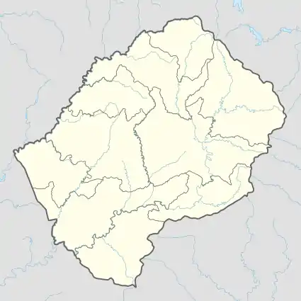
Telle
Telle is a community council in the Maseru District of Lesotho. Its population in 2006 was 6,835.[3]
Telle | |
|---|---|
Community Council | |
 Telle Geographic Center of Community | |
| Coordinates: 29°50′13″S 28°07′54″E | |
| Country | |
| District | Maseru District |
| Elevation | 7,490 ft (2,283 m) |
| Population (2006) | |
| • Total | 6,835 |
| Time zone | UTC+2 (CAT) |
| Coordinates computed from Lesotho Villages file.[2] | |
Villages
The community of Telle includes the villages of Botsoela, Ha 'Malesia, Ha Elia, Ha Elia (Meeling), Ha Khahlana, Ha Khopolo (Lithabaneng), Ha Koloti, Ha Lechesa, Ha Leeba, Ha Lekola-Ntšo, Ha Leloko, Ha Machafela, Ha Makhele, Ha Mapitsi, Ha Mapoho, Ha Maqisha, Ha Mashenephe, Ha Masia, Ha Masienyane, Ha Monaheng, Ha Morainyane, Ha Motsu, Ha Ntsoku, Ha Nyali, Ha Pakiso, Ha Phaphaneso, Ha Popa, Ha Rakuba, Ha Ramafatsa, Ha Ramokhorong, Ha Ramosoeu, Ha Rampeo, Ha Rateele, Ha Salemone, Ha Samuel, Ha Sechache, Ha Seleke, Ha Setoi, Ha Talimo, Ha Telekoa, Ha Thiba-tsane, Ha Thotho, Ha Tieho, Ha Tlokotsi, Ha Tollo, Ha Tsekiso, Ha Tšoeu, Ha Tsoinyane, Khohlone, Khohlong (Makoabating), Khubetsoana, Konyana-Tšoana, Likotjaneng, Liphookoaneng, Litšoeneng, Matebeleng, Matsatseng, Mokotjana, Moreneng, Motlaputseng, Motse-Mocha, Nchela-Nchela, Pheselema, Polateng, Pontšeng, Sekhutlong, Sekoting, Tebeleng, Thabeng, Tholang, Thoteng, Tiping, Tša-Lebe and Tšutsulupa.[4]
References
- GTOPO30 via GeoNames. Retrieved 2010-09-18.
- Google Earth Download Site Retrieved 2010-07-21.
- Statoids.com
- Lesotho Bureau of Statistics, Village List 2006.