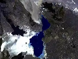
Tat Ali
Tat Ali is a low Holocene shield volcano located in the northern part of the Afar Region of Ethiopia. This elevation is characterized as having an elongated summit depression that has produced a variety of rock types, ranging from basalts to pantellerites. NNW-SSE-trending fissures cutting the volcano have fed basaltic lava flows; those NE of Lake Afrera are of prehistoric date. Late-stage volcanism produced youthful basaltic lava flows on the floor of the summit depression, which is also the site of prominent fumarolic activity.
| Tat Ali | |
|---|---|
 | |
| Highest point | |
| Elevation | 655 m (2,149 ft) |
| Coordinates | 13.28°N 41.07°E |
| Geography | |
| Location | Afar Region, Ethiopia |
| Parent range | Tat Ali Range |
| Geology | |
| Mountain type | Shield volcano |
| Last eruption | Unknown |
Tat Ali, Erta Ale, Alu and other Ethiopian highlands are together known as the Danakil Alps.[1]
See also
References
- Handbook of Lithium and Natural Calcium Chloride By Donald E. Garrett
This article is issued from Wikipedia. The text is licensed under Creative Commons - Attribution - Sharealike. Additional terms may apply for the media files.