Tasiilap Karra
Tasiilap Karra[1] or Cape Gustav Holm (Danish: Kap Gustav Holm) is a headland in eastern Greenland, Sermersooq municipality.
Tasiilap Karra
Cape Gustav Holm | |
|---|---|
 Tasiilap Karra | |
| Coordinates: 66°34′N 34°22′W | |
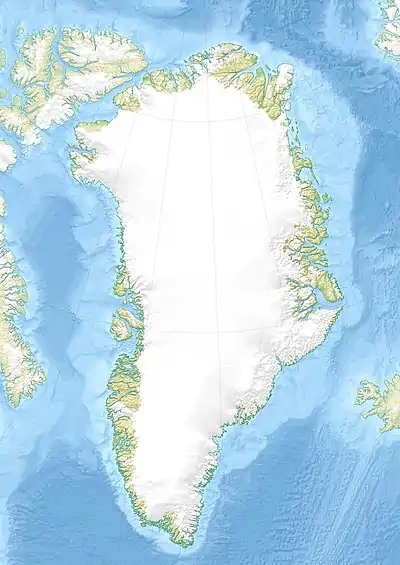
| Location | Sermersooq, Greenland |
| Offshore water bodies | North Atlantic Ocean |
| Area | |
| • Total | Arctic |
It was named after officer of the Danish Navy and Arctic explorer Gustav Holm (1849 – 1940).
Geography
Cape Gustav Holm is located near the Arctic Circle on the shores of the Denmark Strait coast of the North Atlantic Ocean, northeast of Tasiilaq.[2]
This cape is the southern end of a narrow mountainous peninsula east of the Ikersuak Fjord which extends in a NE/SW direction, rising to a height of 966 m. The islet of Nanertalik lies 1.2 km off a small projection on the shore 5 km northeast of the cape and Cape Buchholz is located a further 7 km to the northeast along the coast.[3] The Northern K.J.V. Steenstrup Glacier has its terminus west of the cape.[4]
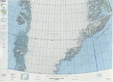 Map of Greenland section. |
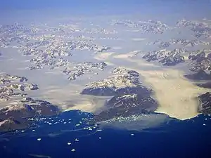 View of the coastline 8 km to the west of Cape Gustav Holm with the Northern K.J.V. Steenstrup Glacier on the right by the mouth of the Ikertivaq Fjord. |
References
- Den grønlandske Lods - Geodatastyrelsen
- "Kap Gustav Holm". Mapcarta. Retrieved 11 April 2016.
- Prostar Sailing Directions 2005 Greenland and Iceland Enroute, p. 110
- GoogleEarth
External links