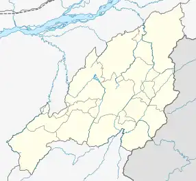
Swe–ba
Swe–ba is ward under Viswema, Nagaland located along the Asian Highway 1 and also the NH2.
Swe–ba | |
|---|---|
 Swe–ba Location in Nagaland, India | |
| Coordinates: 25.561454°N 94.1449788°E | |
| Country | |
| State | Nagaland |
| District | Kohima |
| Population | |
| • Total | 388[1] |
| Languages | |
| • Dialect | Keyho |
| Time zone | UTC+5:30 (IST) |
| Vehicle registration | NL |
| Website | nagaland |
The John Government Higher Secondary School and Community Health Center, Viswema are located under this ward.
Demographics
Swe–ba is located in Jakhama sub-division of Kohima district, Nagaland with a total of 90 residence. It has a population of 388 as per Population Census 2011.[2]
References
- "Census2011, Sweba Data". Retrieved 21 July 2020.
- "Sweba Viswema". Retrieved 21 July 2020.
This article is issued from Wikipedia. The text is licensed under Creative Commons - Attribution - Sharealike. Additional terms may apply for the media files.