Strela (mountain)
The Strela is a mountain of the Plessur Alps, located between Langwies and Davos in the Swiss canton of Graubünden.
| Strela | |
|---|---|
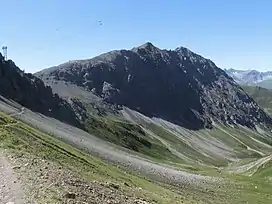 Strela (left) and Chüpfenflue (right), picture taken from Haupter Tälli | |
| Highest point | |
| Elevation | 2,636.4 m (8,650 ft) |
| Prominence | 55 m (180 ft)[1] |
| Parent peak | Aroser Rothorn |
| Isolation | 0.5 km (0.31 mi) |
| Coordinates | 46°48′32.4″N 9°46′48.72″E |
| Geography | |
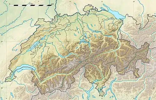 Strela Location in Switzerland | |
| Location | Graubünden, Switzerland |
| Parent range | Plessur Alps |
References
- Retrieved from the Swisstopo topographic maps. The key col is the Ridge between Strela and Chüpfenflue
This article is issued from Wikipedia. The text is licensed under Creative Commons - Attribution - Sharealike. Additional terms may apply for the media files.