Stolno, Kuyavian-Pomeranian Voivodeship
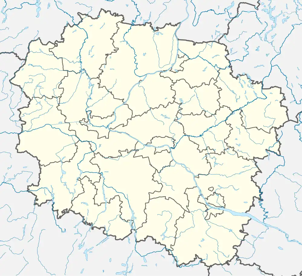
Stolno [ˈstɔlnɔ] is a village in Chełmno County, Kuyavian-Pomeranian Voivodeship, in north-central Poland.[1] It is the seat of the gmina (administrative district) called Gmina Stolno. It lies 8 kilometres (5 mi) south-east of Chełmno, 33 km (21 mi) north of Toruń, and 41 km (25 mi) north-east of Bydgoszcz. It is located in Chełmno Land within the historic region of Pomerania.
Stolno | |
|---|---|
Village | |
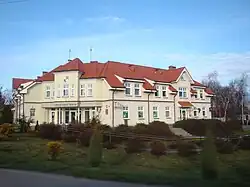
 Gmina office in Stolno | |
 Stolno  Stolno | |
| Coordinates: 53°19′18″N 18°30′22″E | |
| Country | |
| Voivodeship | Kuyavian-Pomeranian |
| County | Chełmno |
| Gmina | Stolno |
| Population | |
| • Total | 830 |
| Time zone | UTC+1 (CET) |
| • Summer (DST) | UTC+2 (CEST) |
| Vehicle registration | CCH |
| National roads | |
| Voivodeship roads | |
There are several bunkers and forts from World War I in Stolno.
Transport
Stolno is located at the intersection of Polish National roads 55 and 91 and the Voivodeship road 548.
References
This article is issued from Wikipedia. The text is licensed under Creative Commons - Attribution - Sharealike. Additional terms may apply for the media files.
