St Catherine's Island
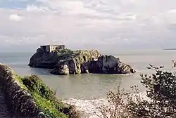
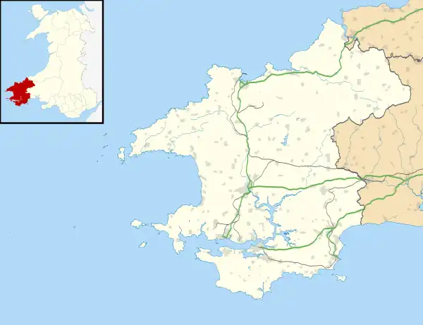
St Catherine's Island (Welsh: Ynys Catrin) is a small tidal island linked to Tenby in Pembrokeshire, Wales, by Castle beach at low tide. The island, which is known colloquially as St Catherine's Rock, is the location of St Catherine's Fort.[1]
 St Catherine's Island, Tenby. Taken from Castle Hill. | |
 St Catherine's Island | |
| Geography | |
|---|---|
| Location | Tenby |
| Coordinates | 51°40′14″N 4°41′32″W |
| Length | 0.2 km (0.12 mi) |
| Width | 0.06 km (0.037 mi) |
| Highest elevation | 34 m (112 ft) |
| Administration | |
Wales | |
| County | Pembrokeshire |
History
The Earl of Pembroke (previously Jasper Tudor, the uncle of Henry VII), owned St Catherine's Island until the reign of Elizabeth I. Later, ownership passed to the Corporation of Tenby, which took possession of a number of crown lands.[2] It is recorded in 1856 that a few sheep inhabited the island. An observer described them as "half wild sure footed creatures that run, turn and look, run again and leap from crag to crag almost with the agility of the Alpine Chamois".[3]
For many centuries a tiny church was the only building on the island. The construction of St Catherine's Fort in 1867 necessitated the demolishing of the remains of the church.
A family trust has owned the island since 1962.[4] The island operated as a zoo from March 1968 to 1979.[5][6] In April 2014 the island was opened to the public for visits and tours. It was closed from Saturday 27 August 2016[7] to 12 April 2017[4] and remains open to the public as of 2019.
In 2016 The Final Problem, the third and last episode of the fourth series of the BBC TV series Sherlock was filmed on the island, with it standing in as a maximum security prison.[8]
Geography
Formed from an outcrop of limestone, on average 25m high, the island is riddled with tidal caves. The island is approximately 200 metres (660 ft) long and 60 metres (200 ft) wide.[7]
The area below the high waterline at St Catherine's Island is a Site of Special Scientific Interest. The stretch directly in front of the island is known as the Catterns.[9]
Gallery
 An island cave (c. 1823)
 View from the park
 Viewed from the headland
 The Promenade and St Catherine's Island
References
- Phillips, Alan (26 September 2013). Castles and Fortifications of Wales. Amberley Publishing Limited. p. 95. ISBN 978-1-4456-2484-6.
- "Tenby's landmark St Catherine's Island to reopen as a tourist attraction". Wales Online. 27 May 2015. Retrieved 11 September 2016.
- Gosse, Philip Henry (1856). Tenby: A Sea-side Holiday. John Van Voorst. p. 14.
- "Building Bridges (not simply structural ones!)". Visit Tenby. 29 October 2017. Archived from the original on 1 June 2019. Retrieved 1 June 2019.
- Breverton, Terry (28 February 2013). The Welsh: The Biography. Amberley Publishing Limited. p. 553. ISBN 978-1-4456-1572-1.
- "History of St Catherine's Island". Retrieved 1 June 2019.
- "St Catherine's Island and Fort". BBC. 6 June 2014. Retrieved 11 September 2016.
- Wales online article about the shoot
- "St Catherine's Island and Fort". BBC. 6 June 2004. Retrieved 11 September 2016.
External links
- Official website
- Official Photographs
- Map sources for St Catherine's Island