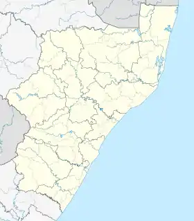
Southport, KwaZulu-Natal
Southport is a small coastal village on the South Coast of KwaZulu-Natal, South Africa, an extension of the coastal town of Port Shepstone in the Ray Nkonyeni Local Municipality.[2]
Southport | |
|---|---|
 Southport 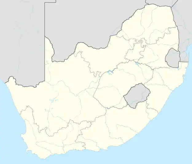 Southport | |
| Coordinates: 30.681°S 30.499°E | |
| Country | South Africa |
| Province | KwaZulu-Natal |
| District | Ugu |
| Municipality | Ray Nkonyeni |
| Main Place | Port Shepstone |
| Area | |
| • Total | 1.94 km2 (0.75 sq mi) |
| Population (2011)[1] | |
| • Total | 598 |
| • Density | 310/km2 (800/sq mi) |
| Racial makeup (2011) | |
| • Black African | 20.9% |
| • Coloured | 3.6% |
| • Indian/Asian | 6.3% |
| • White | 68.8% |
| • Other | 0.4% |
| First languages (2011) | |
| • English | 51.5% |
| • Afrikaans | 30.0% |
| • Zulu | 12.3% |
| • Xhosa | 4.8% |
| • Other | 1.4% |
| Time zone | UTC+2 (SAST) |
| PO box | 4230 |
| Area code | 039 |
Southport is situated on the R102 regional route, approximately 9 kilometres (5.6 mi) northeast of Port Shepstone, between Sea Park to the south and Anerley to the north.[3]
References
- "Sub Place Southport". Census 2011.
- "Southport". www.sa-venues.com. Retrieved 2023-08-30.
- "Distance Southport". www.distance.to. Retrieved 30 August 2023.
This article is issued from Wikipedia. The text is licensed under Creative Commons - Attribution - Sharealike. Additional terms may apply for the media files.