Solskjel
Solskjel or Solskjelsøya is an island in Aure Municipality in Møre og Romsdal county, Norway.[1] The 5-square-kilometre (1.9 sq mi) island sits just north of the island of Stabblandet, northeast of the larger island of Tustna and west of the island of Ertvågsøya.
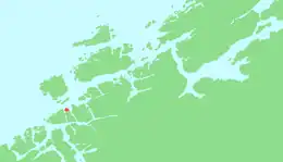 | |
 Solskjelsøya Location of the island 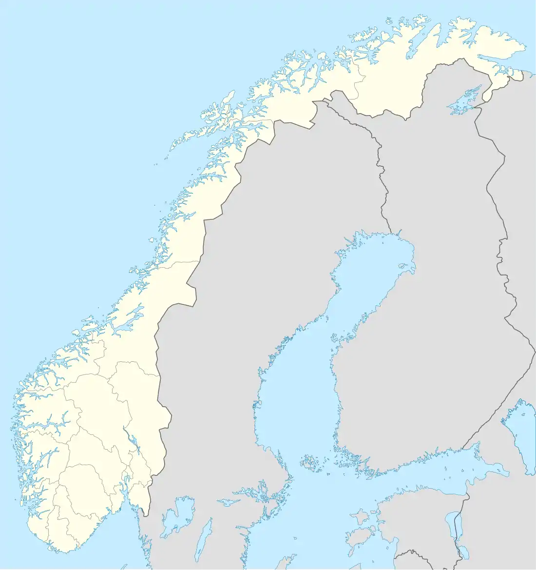 Solskjelsøya Solskjelsøya (Norway) | |
| Geography | |
|---|---|
| Location | Møre og Romsdal, Norway |
| Coordinates | 63.2445°N 8.1886°E |
| Area | 5 km2 (1.9 sq mi) |
| Length | 3 km (1.9 mi) |
| Width | 2.5 km (1.55 mi) |
| Coastline | 15 km (9.3 mi) |
| Highest elevation | 87 m (285 ft) |
| Highest point | Storhaugen |
| Administration | |
Norway | |
| County | Møre og Romsdal |
| Municipality | Aure Municipality |
There is no road connection to the island, but there is a cable ferry connection across the 450-metre (1,480 ft) wide Norheimsundet strait to the neighboring island of Stabblandet. The cable ferry began operating on 16 January 2009.[2]
See also
References
- "Solskjel" (in Norwegian). yr.no. Retrieved 2010-12-11.
- "Solskjel kabelferge" (in Norwegian). Solskjel.no. Retrieved 2019-04-11.
This article is issued from Wikipedia. The text is licensed under Creative Commons - Attribution - Sharealike. Additional terms may apply for the media files.