Sinnerud
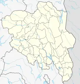
Sinnerud is a village in Stange Municipality in Innlandet county, Norway. The village is located along the south side of the river Svartelva, about 2 kilometres (1.2 mi) east of the village of Bekkelaget. The European route E6 highway runs along the west side of the village.
Sinnerud | |
|---|---|
Village | |
 Sinnerud Location of the village 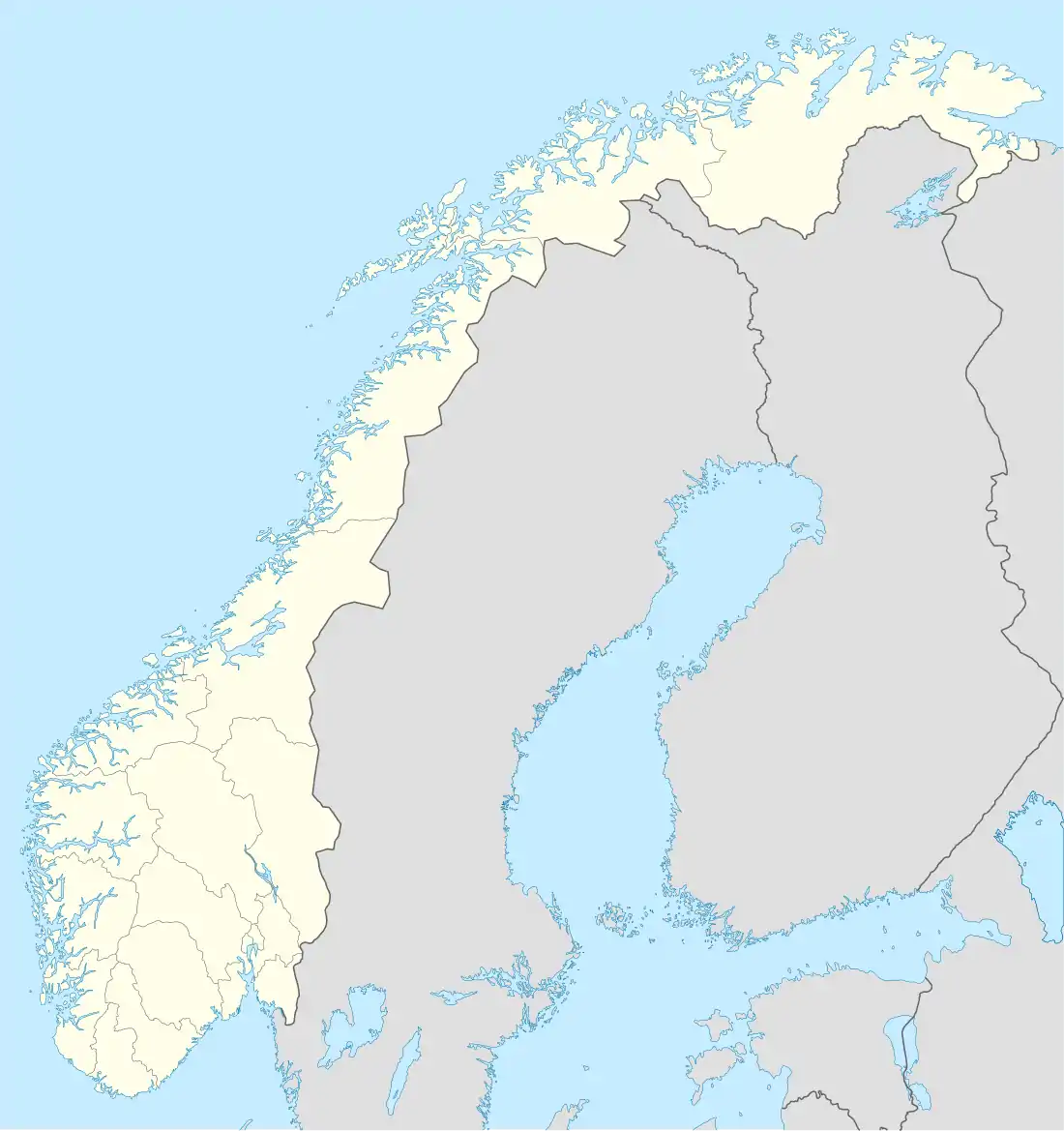 Sinnerud Sinnerud (Norway) | |
| Coordinates: 60.78089°N 11.14655°E | |
| Country | Norway |
| Region | Eastern Norway |
| County | Innlandet |
| District | Hedmarken |
| Municipality | Stange Municipality |
| Elevation | 159 m (522 ft) |
| Time zone | UTC+01:00 (CET) |
| • Summer (DST) | UTC+02:00 (CEST) |
| Post Code | 2312 Ottestad |
Sinnerud the is considered to be part of the town of Hamar which stretches over the municipal border into Stange Municipality. The 0.29-square-kilometre (72-acre) village area of Sinnerud and the neighboring village of Sanderud have a population (2021) of 305 and a population density of 1,057 inhabitants per square kilometre (2,740/sq mi).[2]
References
- "Sinnerud, Stange". yr.no. Retrieved 25 March 2022.
- Statistisk sentralbyrå (1 January 2021). "Urban settlements. Population and area, by municipality".
This article is issued from Wikipedia. The text is licensed under Creative Commons - Attribution - Sharealike. Additional terms may apply for the media files.