Sierra de Chinajá
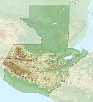
The Sierra de Chinajá is a low karstic mountain range in Guatemala. It is situated in the north of the department of Alta Verapaz and covers an area of approximately 135 km2 (52 sq mi).[1]<-- 2023-02-27: Google search of the title did not provide any hits of the PDF --> Its highest peak has an altitude of 838 m (2,749 ft).
| Sierra de Chinajá | |
|---|---|
 Sierra de Chinajá | |
| Highest point | |
| Elevation | 838 m (2,749 ft) |
| Coordinates | 15.973129°N 90.210114°W |
| Dimensions | |
| Length | 20 km (12 mi) northwest to southeast |
| Width | 4 km (2.5 mi) |
| Area | 135 km2 (52 sq mi) |
| Geography | |
| Country | Guatemala |
| Department | Alta Verapaz |
| Municipality | Chisec |
| Geology | |
| Age of rock | Mesozoic (Cretaceous) |
| Type of rock | Karstic |
The mountain range is isolated from other ranges and forms the last major topographic landform between the highlands of the Sierra de Chamá and the lowland plains of Petén.[1]
See also
References
- Bonham, Curan A. (2001). "Biodiversity and Conservation of Sierra de Chinajá: A Rapid Assessment of Biophysical, Socioeconomic, and Management Factors in Alta Verapaz, Guatemala" (PDF). Cornell University.
This article is issued from Wikipedia. The text is licensed under Creative Commons - Attribution - Sharealike. Additional terms may apply for the media files.