Sherburne Peak
Sherburne Peak is a 8,578-foot-high (2,615 m) mountain located in the Lewis Range, Glacier National Park in the U.S. state of Montana.[3] Sherburne Peak has two summits: the higher one being in Glacier National Park and the lower summit is located within the Blackfeet Indian Reservation.
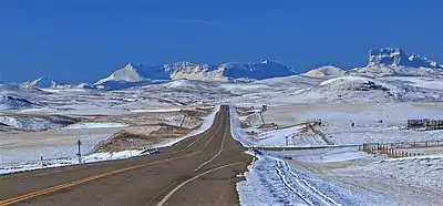
Sherburne Peak is at the left end of Yellow Mountain, which is centered. Chief Mountain to the right. Camera is pointed south.
| Sherburne Peak | |
|---|---|
 Sherburne Peak Location in Montana  Sherburne Peak Location in the United States | |
| Highest point | |
| Elevation | 8,578 ft (2,615 m)[1] |
| Prominence | 178 ft (54 m)[1] |
| Coordinates | 48°53′01″N 113°33′43″W[2] |
| Geography | |
| Location | Glacier County, Montana, U.S. |
| Parent range | Lewis Range |
| Topo map | USGS Chief Mountain, MT |
References
- "Sherburne Peak, Montana". Peakbagger.com. Retrieved December 27, 2018.
- "Sherburne Peak". Geographic Names Information System. United States Geological Survey, United States Department of the Interior. Retrieved December 27, 2018.
- Chief Mountain, MT (Map). TopoQwest (United States Geological Survey Maps). Retrieved December 27, 2018.
This article is issued from Wikipedia. The text is licensed under Creative Commons - Attribution - Sharealike. Additional terms may apply for the media files.