Senouire
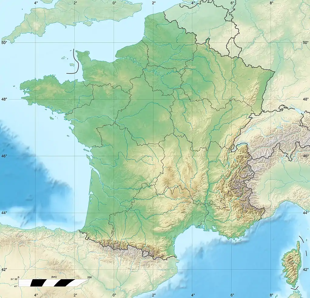
The Senouire (French pronunciation: [sənwiʁ]; Occitan: Senoira) is a 63.1-kilometre (39.2 mi) long river in the Haute-Loire département, south-central France.[1] Its source is at Sembadel. It flows generally west. It is a right tributary of the Allier into which it flows between Fontannes and Vieille-Brioude, near Brioude.
| Senouire | |
|---|---|
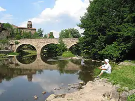 The Senouire at Lavaudieu | |
  | |
| Location | |
| Country | France |
| Physical characteristics | |
| Source | |
| • location | Sembadel |
| • coordinates | 45°17′38″N 03°42′03″E |
| • elevation | 1,070 m (3,510 ft) |
| Mouth | |
• location | Allier |
• coordinates | 45°16′38″N 03°24′31″E |
• elevation | 430 m (1,410 ft) |
| Length | 63.1 km (39.2 mi) |
| Basin size | 170 km2 (66 sq mi) |
| Discharge | |
| • average | 1.57 m3/s (55 cu ft/s) |
| Basin features | |
| Progression | Allier→ Loire→ Atlantic Ocean |
Communes along its course
This list is ordered from source to mouth: Sembadel, Bonneval, La Chaise-Dieu, Malvières, La Chapelle-Geneste, Connangles, Saint-Pal-de-Senouire, La Chapelle-Bertin, Collat, Josat, Sainte-Marguerite, Mazerat-Aurouze, Paulhaguet, Salzuit, Domeyrat, Frugières-le-Pin, Lavaudieu, Fontannes, Vieille-Brioude
This article is issued from Wikipedia. The text is licensed under Creative Commons - Attribution - Sharealike. Additional terms may apply for the media files.