Sea Lion Tarn
Sea Lion Tarn (Bulgarian: езеро Морски Лъв, romanized: ezero Morski Lav, IPA: [ˈɛzɛro ˈmɔrski ˈɫɤf]) is a freshwater tarn with an area of 0.3 ha (0.74 acres) located between Sea Lion Glacier and the north-western slopes of Atlantic Club Ridge on Hurd Peninsula in eastern Livingston Island in the South Shetland Islands, Antarctica. The lake drains westward through a 100 m creek into South Bay.
| Sea Lion Tarn | |
|---|---|
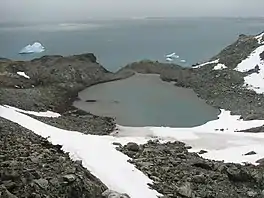 Sea Lion Tarn from the north slopes of Atlantic Club Ridge, with South Bay in the background | |
 Sea Lion Tarn | |
| Location | Livingston Island |
| Coordinates | 62°38′48″S 60°22′14″W |
| Basin countries | (Antarctica) |
| Surface area | 0.3 ha (0.74 acres) |
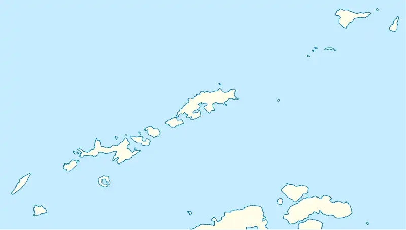
Location of Hurd Peninsula on Livingston Island in the South Shetland Islands.
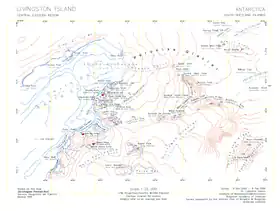
Topographic map of central-eastern Livingston Island featuring Sea Lion Tarn.
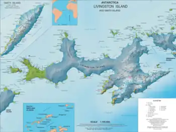
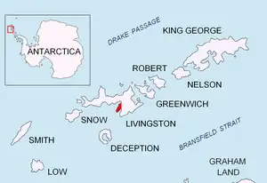
Topographic map of Livingston Island and Smith Island
The feature takes its name from the adjacent Sea Lion Glacier.
Location
The midpoint is located at 62°38′48″S 60°22′14″W (Bulgarian mapping from a 1995-1996 ground survey).
Maps
- L.L. Ivanov. Livingston Island: Central-Eastern Region. Scale 1:25000 topographic map. Sofia: Antarctic Place-names Commission of Bulgaria, 1996.
- L.L. Ivanov et al. Antarctica: Livingston Island and Greenwich Island, South Shetland Islands. Scale 1:100000 topographic map. Sofia: Antarctic Place-names Commission of Bulgaria, 2005.
- L.L. Ivanov. Antarctica: Livingston Island and Greenwich, Robert, Snow and Smith Islands. Scale 1:120000 topographic map. Troyan: Manfred Wörner Foundation, 2009. ISBN 978-954-92032-6-4
- Antarctic Digital Database (ADD). Scale 1:250000 topographic map of Antarctica. Scientific Committee on Antarctic Research (SCAR). Since 1993, regularly updated.
- L.L. Ivanov. Antarctica: Livingston Island and Smith Island. Scale 1:100000 topographic map. Manfred Wörner Foundation, 2017. ISBN 978-619-90008-3-0
References
- Sea Lion Tarn. SCAR Composite Antarctic Gazetteer
- Bulgarian Antarctic Gazetteer. Antarctic Place-names Commission. (details in Bulgarian, basic data in English)
External links
- Sea Lion Tarn. Copernix satellite image
This article includes information from the Antarctic Place-names Commission of Bulgaria which is used with permission.
This article is issued from Wikipedia. The text is licensed under Creative Commons - Attribution - Sharealike. Additional terms may apply for the media files.