Sangvi
Sangvi is a village in Parola Taluka of Jalgaon district in northwestern part of the state of Maharashtra, India.
Sangvi
sangvi Sangvi vitner | |
|---|---|
village | |
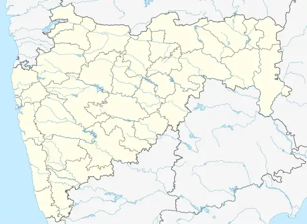 Sangvi Location in Maharashtra, India 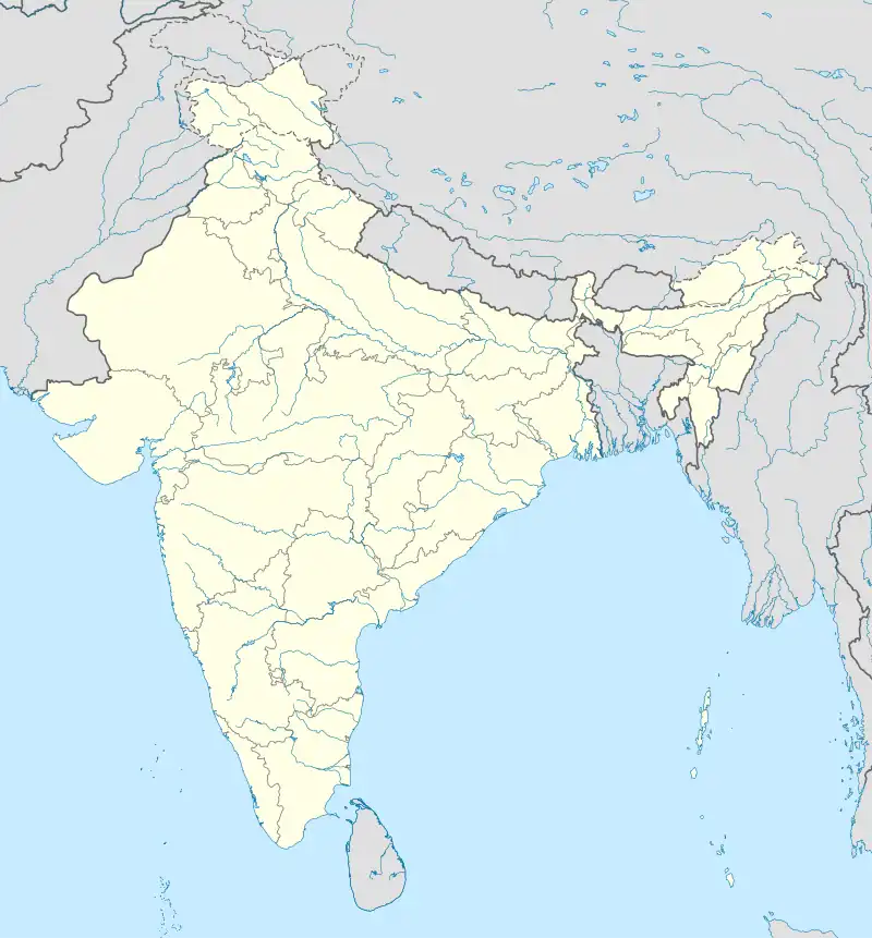 Sangvi Sangvi (India) | |
| Coordinates: 21.28°N 74.58°E | |
| Country | |
| State | Maharashtra |
| District | Jalgaon |
| Government | |
| • Type | village |
| • Body | Gram panchayat |
| Elevation | 197 m (646 ft) |
| Languages | |
| • Official | Marathi |
| Time zone | UTC+5:30 (IST) |
| ISO 3166 code | IN-MH |
| Website | maharashtra |
Geography
Sangvi is located at 21.28°N 74.58°E.[1] It has an average elevation of 197 metres (649 feet).
Sangvi lies in the Khandesh region, and on Agra - Mumbai National Highway 6.
References
This article is issued from Wikipedia. The text is licensed under Creative Commons - Attribution - Sharealike. Additional terms may apply for the media files.