Sanaswadi
Sanaswadi (Marathi : सणसवाडी) is an industrial village. It is a part of Maharashtra Industrial Development Corporation (MIDC). Together this set up is called Sanaswadi-Shikrapur Industrial Belt.
Sanaswadi
सणसवाडी | |
|---|---|
village | |
| Nickname: महाराष्ट्र औद्योगिक विकास महामंडळ – सणसवाडी | |
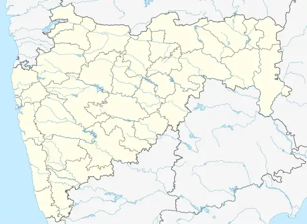 Sanaswadi Location in Maharashtra, India 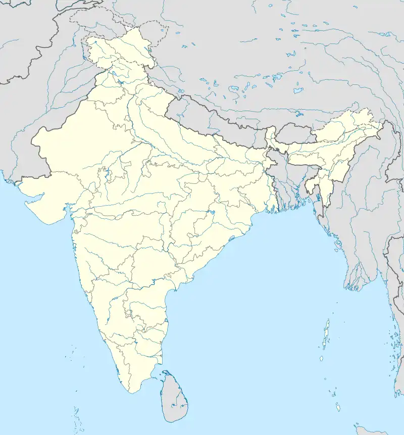 Sanaswadi Sanaswadi (India) | |
| Coordinates: 18°40′50″N 74°6′42″E | |
| Country | |
| State | Maharashtra |
| District | Pune |
| Government | |
| • Body | Gram panchayat |
| Population | |
| • Total | 13,543 |
| Languages | |
| • Official | Marathi |
| Time zone | UTC+5:30 (IST) |
| PIN | 412208 |
| Telephone code | 02137 |
| ISO 3166 code | IN-MH |
| Vehicle registration | MH 12 |
| Nearest city | Pune, Shirur |
| Sex ratio | 52 : 48 ♂/♀ |
| Literacy | 87.32% |
| Lok Sabha constituency | Shirur |
| Vidhan Sabha constituency | Shirur |
| Website | pune |
Geography
The village is located approximately 30 km to the east of the city of Pune. Village located on Pune–Ahmednagar highway and well connected to nearby industrial & major cities.[1][2][3][4]
References
- "Sanaswadi Census Town City Population Census 2011–2021 | Maharashtra". www.census2011.co.in.
- "Archived copy". Archived from the original on 7 March 2012. Retrieved 11 May 2013.
{{cite web}}: CS1 maint: archived copy as title (link) - "Census India". www.censusindia.gov.in.
- "Members List :: Membership :: DCCIA". Archived from the original on 30 September 2012.
This article is issued from Wikipedia. The text is licensed under Creative Commons - Attribution - Sharealike. Additional terms may apply for the media files.