Sainte-Sophie-d'Halifax, Quebec
Sainte-Sophie-d'Halifax is a municipality in the Centre-du-Québec region of the province of Quebec in Canada.
Sainte-Sophie-d'Halifax | |
|---|---|
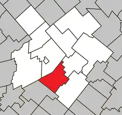 Location within L'Érable RCM. | |
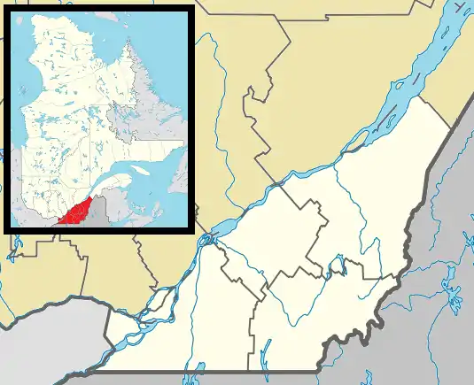 Sainte-Sophie-d'Halifax Location in southern Quebec. | |
| Coordinates: 46°09′N 71°43′W[1] | |
| Country | |
| Province | |
| Region | Centre-du-Québec |
| RCM | L'Érable |
| Constituted | December 17, 1997 |
| Government | |
| • Mayor | Marc Nadeau |
| • Federal riding | Mégantic—L'Érable |
| • Prov. riding | Lotbinière |
| Area | |
| • Total | 92.30 km2 (35.64 sq mi) |
| • Land | 92.13 km2 (35.57 sq mi) |
| Population (2021)[3] | |
| • Total | 595 |
| • Density | 6.5/km2 (17/sq mi) |
| • Pop 2016-2021 | |
| • Dwellings | 258 |
| Time zone | UTC−5 (EST) |
| • Summer (DST) | UTC−4 (EDT) |
| Postal code(s) | |
| Area code | 819 |
| Highways | |
| Website | www.saintesophie dhalifax.com |
Sainte-Sophie-d'Halifax was constituted by the December 17, 1997 amalgamation of the municipality of Sainte-Sophie and the township municipality of Halifax-Nord.
References
- "Reference number 337779 in Banque de noms de lieux du Québec". toponymie.gouv.qc.ca (in French). Commission de toponymie du Québec.
- "Geographic code 32023 in the official Répertoire des municipalités". www.mamh.gouv.qc.ca (in French). Ministère des Affaires municipales et de l'Habitation.
- "Profile table, Census Profile, 2021 Census of Population - Sainte-Sophie-d'Halifax, Municipalité (MÉ) [Census subdivision], Quebec". 9 February 2022.
Places adjacent to Sainte-Sophie-d'Halifax, Quebec | ||||||||||||||||
|---|---|---|---|---|---|---|---|---|---|---|---|---|---|---|---|---|
| ||||||||||||||||
| Cities | |
|---|---|
| Municipalities | |
| Parishes | |
| |
This article is issued from Wikipedia. The text is licensed under Creative Commons - Attribution - Sharealike. Additional terms may apply for the media files.