Sainte-Françoise, Centre-du-Québec, Quebec
Sainte-Françoise is a municipality in the Centre-du-Québec region of the province of Quebec in Canada.
Sainte-Françoise | |
|---|---|
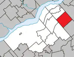 Location within Bécancour RCM. | |
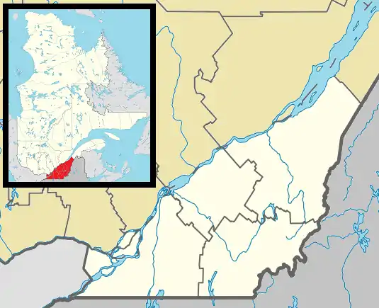 Sainte-Françoise Location in southern Quebec. | |
| Coordinates: 46°27′N 71°59′W[1] | |
| Country | |
| Province | |
| Region | Centre-du-Québec |
| RCM | Bécancour |
| Constituted | January 1, 1947 |
| Government | |
| • Mayor | Mario Lyonnais |
| • Federal riding | Bas-Richelieu— Nicolet—Bécancour |
| • Prov. riding | Nicolet-Bécancour |
| Area | |
| • Total | 87.30 km2 (33.71 sq mi) |
| • Land | 86.99 km2 (33.59 sq mi) |
| Population | |
| • Total | 479 |
| • Density | 5.5/km2 (14/sq mi) |
| • Pop 2006-2011 | |
| • Dwellings | 226 |
| Time zone | UTC−5 (EST) |
| • Summer (DST) | UTC−4 (EDT) |
| Postal code(s) | |
| Area code | 819 |
| Highways | |
| Website | www.visitedeferme educative.com |
References
- "Reference number 56175 in Banque de noms de lieux du Québec". toponymie.gouv.qc.ca (in French). Commission de toponymie du Québec.
- "Geographic code 38035 in the official Répertoire des municipalités". www.mamh.gouv.qc.ca (in French). Ministère des Affaires municipales et de l'Habitation.
- "Sainte-Françoise, Centre-du-Québec, Quebec (Code 2438035) Census Profile". 2011 census. Government of Canada - Statistics Canada.
Adjacent Municipal Subdivisions | ||||||||||||||||
|---|---|---|---|---|---|---|---|---|---|---|---|---|---|---|---|---|
| ||||||||||||||||
| Cities | |
|---|---|
| Municipalities | |
| Parishes | |
| |
This article is issued from Wikipedia. The text is licensed under Creative Commons - Attribution - Sharealike. Additional terms may apply for the media files.