SS Marloo
SS Marloo is a shipwreck at Great Sandy National Park, Fraser Island, Fraser Coast Region, Queensland, Australia. It was added to the Queensland Heritage Register on 12 October 2002 but delisted in 2015.[1][2]
| SS Marloo | |
|---|---|
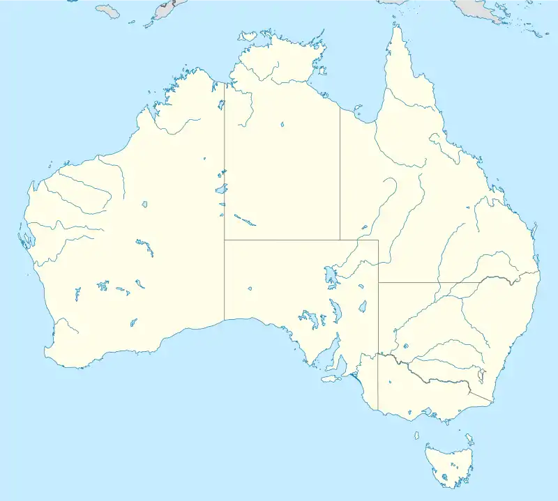
 Location of SS Marloo in Queensland  SS Marloo (Australia) | |
| Location | Great Sandy National Park, Fraser Island, Fraser Coast Region, Queensland, Australia |
| Coordinates | 24.9488°S 153.3035°E |
Former Queensland Heritage Register | |
| Official name | Protected Area – SS Marloo |
| Type | protected area (archaeological) |
| Designated | 12 October 2002 |
| Delisted | 2015 |
| Reference no. | 800001 |
History
.jpg.webp)
SS Marloo was a steel steamer of 2628 tons owned by the Adelaide Steamship Company. Formerly the "Francesco Crispi", it was built at Newcastle upon Tyne, England in 1891.[1]
In September 1914, SS Marloo was steaming from Mackay to Brisbane when she hit a submerged danger on Sandy Cape Shoal off Fraser Island. She was taking on water fast, so the captain steered the ship and deliberately beached it on Fraser Island about 3 miles (4.8 km) north of Waddy Point on 27 September 1914.[3] The crew and all 38 passengers were rescued.[4] A subsequent enquiry found the ship's captain was at fault for not exercising sufficient care and attention in navigation in an area of known dangers.[5] Most of the steamer's cargo was salvaged before a north-easterly gale frustrated attempts to refloat her and she soon went to pieces. The remains of the Marloo have been blasted to recover brass.[1][6][2]
Over the years, some of the wreckage became disassociated from the main wreck, which led to a listing on the Queensland Heritage Register in 2002 in an attempt to protect the disassociated wreckage. However, in 2015, it was delisted from the Queensland Heritage Register as the Australian Government's Shipwreck Act now provides adequate protection for the sites containing relics of shipwrecks.[2]
Description
The wreck of the SS Marloo are located on the beach about 4 kilometres (2.5 mi) northwest of Waddy Point on Fraser Island in about 8 to 9 metres (26 to 30 ft) of water. The remains are located below the surface and are sometimes exposed due to tidal events and erosion. The remains were exposed in October 2002.[1] They were visible again in January 2021.[7]
Heritage listing
The SS Marloo was listed on the Queensland Heritage Register on 12 October 2002; it was declared by regulation of the Queensland Heritage Act 1992 (see Section 8 of the Queensland Heritage Regulation 2003) to be a protected area.[1]
References
- "Protected Area - SS Marloo (entry 800001)". Queensland Heritage Register. Queensland Heritage Council. Retrieved 1 August 2014.
- "Queensland Heritage Regulation 2015" (PDF). Queensland Legislation. Queensland Government. 2015. Archived (PDF) from the original on 23 November 2016. Retrieved 23 November 2016.
- "AGROUND AT SANDY CAPE". Maryborough Chronicle, Wide Bay and Burnett Advertiser. Qld. 28 September 1914. p. 4. Archived from the original on 21 January 2022. Retrieved 4 November 2015 – via National Library of Australia.
- "Wreck of the Marlos". Townsville Daily Bulletin. Qld. 30 September 1914. p. 4. Archived from the original on 21 January 2022. Retrieved 4 November 2015 – via National Library of Australia.
- "WRECKED MARLOO". Darling Downs Gazette. Qld. 20 October 1914. p. 4. Archived from the original on 21 January 2022. Retrieved 4 November 2015 – via National Library of Australia.
- "MARLOO SALVAGE OPERATIONS". Maryborough Chronicle, Wide Bay and Burnett Advertiser. Qld. 18 January 1915. p. 4. Archived from the original on 21 January 2022. Retrieved 4 November 2015 – via National Library of Australia.
- Walker, Carlie (18 January 2021). "Shipwreck buried for decades exposed off Fraser Island". Fraser Coast Chronicle. Archived from the original on 4 November 2021. Retrieved 20 January 2022.
Attribution
![]() This Wikipedia article was originally based on "The Queensland heritage register" published by the State of Queensland under CC-BY 3.0 AU licence (accessed on 7 July 2014, archived on 8 October 2014). The geo-coordinates were originally computed from the "Queensland heritage register boundaries" published by the State of Queensland under CC-BY 3.0 AU licence (accessed on 5 September 2014, archived on 15 October 2014).
This Wikipedia article was originally based on "The Queensland heritage register" published by the State of Queensland under CC-BY 3.0 AU licence (accessed on 7 July 2014, archived on 8 October 2014). The geo-coordinates were originally computed from the "Queensland heritage register boundaries" published by the State of Queensland under CC-BY 3.0 AU licence (accessed on 5 September 2014, archived on 15 October 2014).
External links
![]() Media related to Marloo (ship, 1891) at Wikimedia Commons
Media related to Marloo (ship, 1891) at Wikimedia Commons