Rotta, Germany
Rotta is a village and a former municipality in Wittenberg district in Saxony-Anhalt, Germany. Since 1 January 2010, it is part of the town Kemberg.
Rotta | |
|---|---|
Location of Rotta | |
 Rotta 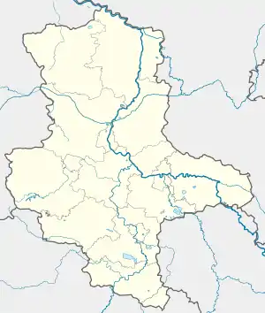 Rotta | |
| Coordinates: 51°46′0″N 12°36′14″E | |
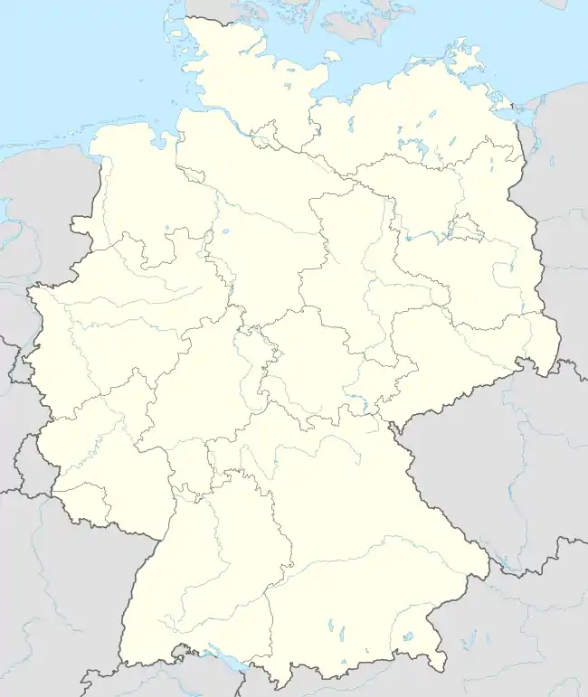
| Country | Germany |
| State | Saxony-Anhalt |
| District | Wittenberg |
| Town | Kemberg |
| Subdivisions | 2 |
| Area | |
| • Total | 29.37 km2 (11.34 sq mi) |
| Elevation | 80 m (260 ft) |
| Population (2006-12-31) | |
| • Total | 860 |
| • Density | 29/km2 (76/sq mi) |
| Time zone | UTC+01:00 (CET) |
| • Summer (DST) | UTC+02:00 (CEST) |
| Postal codes | 06773 |
| Dialling codes | 034921 |
| Vehicle registration | WB |
Geography
Rotta lies about 15 km southwest of Lutherstadt Wittenberg on the edge of the Düben Heath Nature Park.
Subdivisions
Rotta has three of these: Reuden, Gniest and Kolonie Gniest.
History
Rotta had its first documentary mention in 1323.
Economy and transportation
Rotta is about 2 km from both Federal Highway (Bundesstraße) B 2 and B 100.
This article is issued from Wikipedia. The text is licensed under Creative Commons - Attribution - Sharealike. Additional terms may apply for the media files.