Rote Säule (Tauern)
The Rote Säule (also Rote Saile[1]) is a mountain, 2,993 m (AA),[2] on the main chain of the Alps in the Venediger Group. It lies on the border between the Austrian states of Salzburg and East Tyrol.
| Rote Säule | |
|---|---|
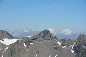 The Rote Säule seen from the Wildenkogel | |
| Highest point | |
| Elevation | 2,993 m (AA) (9,820 ft) |
| Prominence | 303 m ↓ Rotebenscharte |
| Isolation | 3.4 km → Kratzenberg |
| Coordinates | 47°08′47″N 12°26′38″E |
| Geography | |
| Parent range | Venediger Group |
| Climbing | |
| First ascent | 1865 by Franz Keil (tourist and cartographer) |
| Normal route | West ascent (I) |
Location and ascent
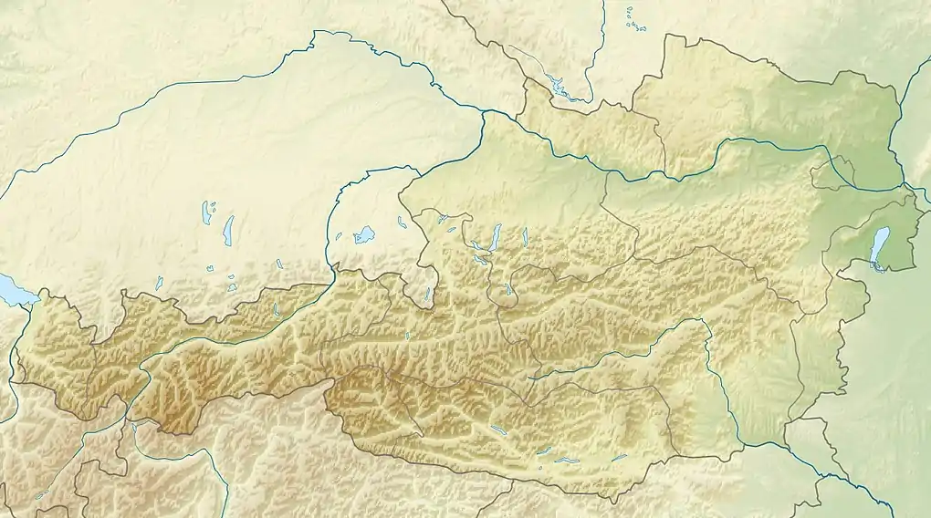
The Rote Säule is a peak in the extreme north of the district of Lienz. It is located on the main chain of the Tauern between the Roter Kogel (2,946 m above sea level (AA)) to the southeast and the Abretter (2,979 m above sea level (AA)) to the northwest, the Rote Säule being separated from the Abretter by the col of Abretterscharte (2,856 m above sea level (AA)). The Rote Säule has a wide north and east face. To the south are the remains of a glacier, the Gschlößkees. The Rote Säule may be climbed from the Venedigerhaus, the route branching off from the Sandebentörl path towards the northwest.
References
- Alpine Club map 1:25,000, Sheet 36, Venedigergruppe.
- Bundesamt für Eich- und Vermessungswesen Österreich: Austrian Map online (Österreichische Karte 1:50,000).
Literature
- Willi End, Hubert Peterka: Alpine Club guide Venedigergruppe. Bergverlag Rother, 5th edition, Munich, 2006, ISBN 3-7633-1242-0.
- Alpine Club map 1:25,000, Sheet 36, Venedigergruppe, ISBN 3-928777-49-1.
External links
 Media related to Rote Säule at Wikimedia Commons