Rohrdorf, Bavaria
Rohrdorf (Central Bavarian: Roudarf) is a municipality in the district of Rosenheim in Upper Bavaria, Germany. It is located in the Inn valley.
Rohrdorf | |
|---|---|
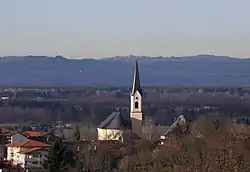 Church of Saint James the Elder | |
 Flag  Coat of arms | |
Location of Rohrdorf within Rosenheim district 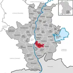 | |
 Rohrdorf 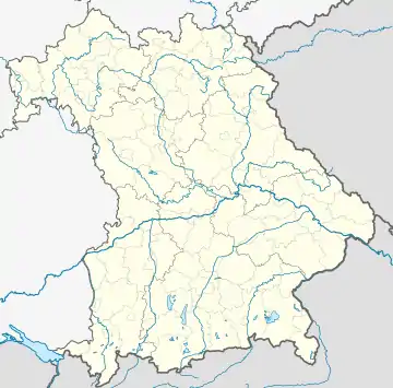 Rohrdorf | |
| Coordinates: 47°47′56″N 12°10′3″E | |
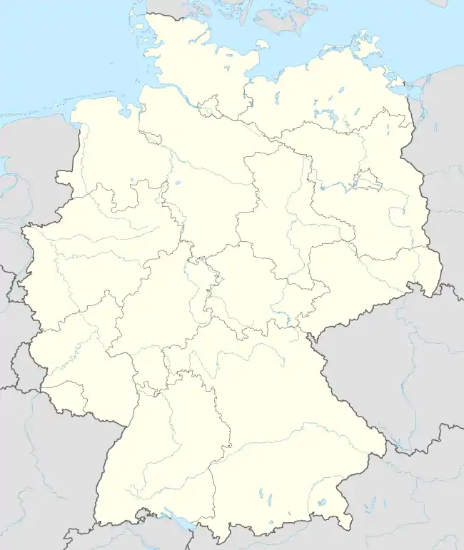
| Country | Germany |
| State | Bavaria |
| Admin. region | Oberbayern |
| District | Rosenheim |
| Subdivisions | 5 Ortsteile |
| Government | |
| • Mayor (2020–26) | Simon Hausstetter[1] |
| Area | |
| • Total | 28.67 km2 (11.07 sq mi) |
| Elevation | 476 m (1,562 ft) |
| Population (2022-12-31)[2] | |
| • Total | 5,965 |
| • Density | 210/km2 (540/sq mi) |
| Time zone | UTC+01:00 (CET) |
| • Summer (DST) | UTC+02:00 (CEST) |
| Postal codes | 83101 |
| Dialling codes | 08031, 08032 |
| Vehicle registration | RO |
| Website | www.rohrdorf.de |
History
Rohrdorf was first mentioned in 788 in the notitia arnonis.
Evidence of prehistoric settlement in the village has been found.
During World War II, a subcamp of Dachau concentration camp was located here.[3]
Twin towns
 Rosate, Italy
 Schattendorf, Austria
 Tarnowo Podgórne, Poland
References
- Liste der ersten Bürgermeister/Oberbürgermeister in kreisangehörigen Gemeinden, Bayerisches Landesamt für Statistik, 15 July 2021.
- Genesis Online-Datenbank des Bayerischen Landesamtes für Statistik Tabelle 12411-003r Fortschreibung des Bevölkerungsstandes: Gemeinden, Stichtag (Einwohnerzahlen auf Grundlage des Zensus 2011)
- "Linde, Land Nordrhein-Westfalen, Germany - Pages - glosk". Archived from the original on 2009-02-09. Retrieved 2008-11-01.
This article is issued from Wikipedia. The text is licensed under Creative Commons - Attribution - Sharealike. Additional terms may apply for the media files.