Retta Nagala
Retta Nagala is a village in Muzaffarnagar district in the Indian state of Uttar Pradesh, situated on the Roorkee Road (NH-58), with a population between 5,000 and 6,000.
Retta Nagala | |
|---|---|
village | |
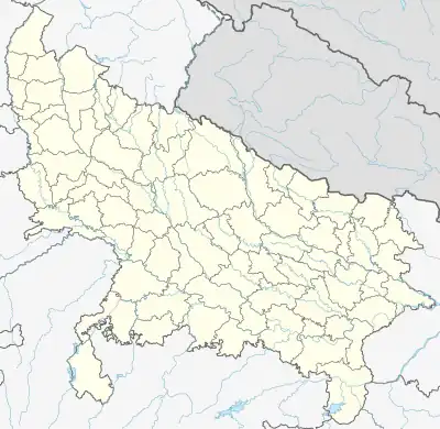 Retta Nagala Location in Uttar Pradesh, India 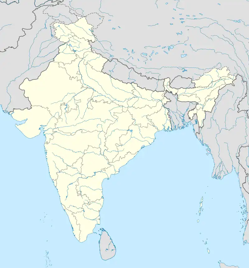 Retta Nagala Retta Nagala (India) | |
| Coordinates: 29.5996368°N 77.7756929°E | |
| Country | |
| State | Uttar Pradesh |
| District | Muzaffarnagar |
| Government | |
| • Body | Gram panchayat |
| Population (2009) | |
| • Total | 6 to 7 thousand |
| Languages | |
| • Official | Hindi |
| Time zone | UTC+5:30 (IST) |
| PIN | 251307 |
| Vehicle registration | UP |
| Nearest city | Muzaffarnagar |
| Sex ratio | 1000/950 ♂/♀ |
| Literacy | 90% |
| Lok Sabha constituency | Bijnor |
| Vidhan Sabha constituency | Charthwal Vidhan Sabha |
| Website | up |
This article is issued from Wikipedia. The text is licensed under Creative Commons - Attribution - Sharealike. Additional terms may apply for the media files.