RAF Longtown
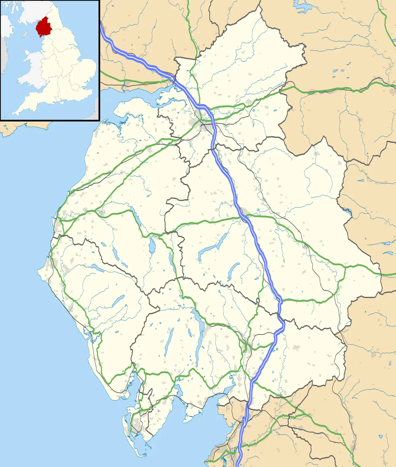
Royal Air Force Longtown or more simply RAF Longtown is a former Royal Air Force satellite station located 2 miles (3.2 km) east of Longtown, Cumbria and 7.7 miles (12.4 km) northeast of Carlisle, Cumbria, England.
| RAF Longtown | |||||||||||
|---|---|---|---|---|---|---|---|---|---|---|---|
| Longtown, Cumbria in England | |||||||||||
 RAF Longtown Shown within Cumbria | |||||||||||
| Coordinates | 55°00′21″N 002°55′15″W | ||||||||||
| Type | Royal Air Force Satellite Station | ||||||||||
| Code | IO | ||||||||||
| Site information | |||||||||||
| Owner | Air Ministry | ||||||||||
| Operator | Royal Air Force | ||||||||||
| Controlled by | RAF Fighter Command 1941-43 RAF Coastal Command 1943- | ||||||||||
| Site history | |||||||||||
| Built | 1941 | ||||||||||
| In use | 1941-1946 | ||||||||||
| Airfield information | |||||||||||
| Elevation | 30 metres (98 ft)[1] AMSL | ||||||||||
| |||||||||||
History
The following units were posted here at some point:
- No. 1 (Coastal) Engine Control Demonstration Unit RAF.[2]
- No. 6 (Coastal) Operational Training Unit RAF.[2]
- No. 9 (Coastal) Operational Training Unit RAF.[2]
- No. 41 Squadron RAF between 1 August and 11 August 1942 with Supermarine Spitfire Mk VB's.[3]
- No. 55 Operational Training Unit RAF.[2]
- No. 59 Operational Training Unit RAF.[2]
- No. 1332 (Transport) Heavy Conversion Unit RAF.[2]
- No. 1521 (Radio Aids Training) Flight RAF.[2]
- No. 1674 Heavy Conversion Unit RAF.[2]
Current use
The site is currently farmland.[2]
References
Citations
- Falconer 1998, p. 58.
- "Longtown". Airfields of Britain Conservation Trust. Retrieved 26 November 2014.
- Jefford 1988, p. 38.
Bibliography
- Falconer, J (1998). RAF Fighter Airfields of World War 2. UK: Ian Allan Publishing. ISBN 0-7110-2175-9.
- Jefford, C G (1988). RAF Squadrons. A comprehensive record of the movement and equipment of all RAF squadrons and their antecedents since 1912. Shrewsbury: Airlife. ISBN 1-85310-053-6.
This article is issued from Wikipedia. The text is licensed under Creative Commons - Attribution - Sharealike. Additional terms may apply for the media files.