Qurama Mountains
The Qurama Mountains (Russian: Кураминский хребет; Uzbek: Qurama tizmasi/Қурама тизмаси) is a mountain range in Tajikistan and Uzbekistan and continues into Kyrgyzstan. The range is a water divide between Angren River to the north and the Syr Darya to the south. The highest point is the Boboiob at 3,769 metres (12,365 ft).[1]
| Qurama Mountains | |
|---|---|
 Qurama mountains near Aсhangaran reservoir (Angren River) | |
| Highest point | |
| Elevation | 3,769 m (12,365 ft) |
| Coordinates | 40°51′N 70°21′E |
| Dimensions | |
| Length | 170 km (110 mi) NW-SE |
| Naming | |
| Native name | Qurama tizmasi (Uzbek) |
| Geography | |
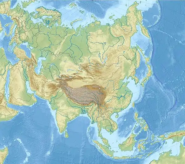
 Qurama Mountains | |
| Country | Uzbekistan Tajikistan Kyrgyzstan |
See also
References
- This article includes content derived from the Great Soviet Encyclopedia, 1969–1978, which is partially in the public domain.
This article is issued from Wikipedia. The text is licensed under Creative Commons - Attribution - Sharealike. Additional terms may apply for the media files.