Puerto Ingeniero Ibáñez Airport
Puerto Ingeniero Ibáñez Airport (Spanish: Aeropuerto de Puerto Ingeniero Ibáñez), (ICAO: SCII) is an airport serving Puerto Ingeniero Ibáñez, a town in the Aysén Region of Chile. The town is at the head of Ibáñez Bay, a bay off the northern side of General Carrera Lake. The runway lies between the mouth of the Ibáñez River and the town.
Puerto Ingeniero Ibáñez Airport | |||||||||||
|---|---|---|---|---|---|---|---|---|---|---|---|
| Summary | |||||||||||
| Airport type | Public | ||||||||||
| Serves | Puerto Ingeniero Ibáñez, Chile | ||||||||||
| Elevation AMSL | 820 ft / 250 m | ||||||||||
| Coordinates | 46°17′35″S 71°57′00″W | ||||||||||
| Map | |||||||||||
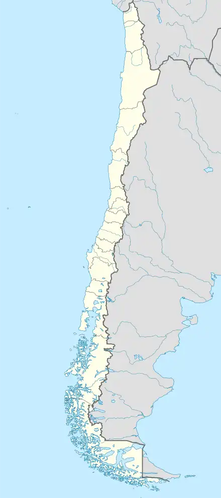 SCII Location of Puerto Ingeniero Ibáñez Airport in Chile | |||||||||||
| Runways | |||||||||||
| |||||||||||
There is mountainous terrain north and east of the airport, and rising terrain to the west. South approach and departure are over the water.
References
- Airport record for Puerto Ingeniero Ibáñez Airport at Landings.com. Retrieved 2013-09-10
- Google (2013-09-10). "location of Puerto Ingeniero Ibáñez Airport" (Map). Google Maps. Google. Retrieved 2013-09-10.
- Airport information for Puerto Ingeniero Ibáñez Airport at Great Circle Mapper.
External links
- OpenStreetMap - Puerto Ingeniero Ibáñez
- OurAirports - Puerto Ingeniero Ibáñez
- SkyVector - Puerto Ingeniero Ibáñez
- Accident history for Puerto Ingeniero Ibáñez Airport at Aviation Safety Network
This article is issued from Wikipedia. The text is licensed under Creative Commons - Attribution - Sharealike. Additional terms may apply for the media files.