Pirwata
Pirwata (Aymara and Quechua pirwa granary, deposit,[2][3] -ta a suffix, also spelled Pirhuata) is a 5,060-metre-high (16,600 ft) mountain in the Bolivian Andes. It is located in the Cochabamba Department, on the border of the Ayopaya Province, Morochata Municipality, and the Quillacollo Province, Quillacollo Municipality.[4][5]
| Pirwata | |
|---|---|
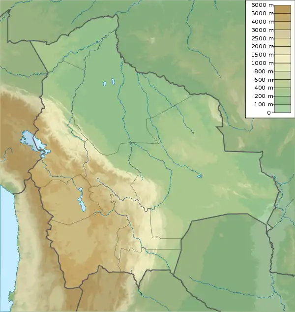 Pirwata Location within Bolivia | |
| Highest point | |
| Elevation | 5,060 m (16,600 ft)[1] |
| Coordinates | 17°12′51″S 66°23′59″W |
| Geography | |
| Location | Bolivia, Cochabamba Department |
| Parent range | Andes |
References
- Evelio Echevarría, Cordillera de Cocapata, Bolivia, The Alpine Journal, 1997
- Ministerio de Educación, Dirección National de Educación Bilingue Intercultural, Yatiqirinaka Aru Pirwa, Lima, 2005 (Aymara-Spanish dictionary)
- Teofilo Laime Ajacopa (2007). Diccionario Bilingüe: Iskay simipi yuyayk’anch: Quechua – Castellano / Castellano – Quechua (PDF). La Paz, Bolivia.
{{cite book}}: CS1 maint: location missing publisher (link) - "Quillacollo". INE, Bolivia. Archived from the original on April 9, 2016. Retrieved April 2, 2016.
- Bolivia 1:100,000 Quillacollo 3636, Map prepared and published by the Defense Mapping Agency, Hydrographic/Topographic Center, Bethesda, MD (unnamed)
Capital: Cochabamba | ||
| Provinces | 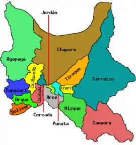 | |
| Municipalities (and seats) |
| |
This article is issued from Wikipedia. The text is licensed under Creative Commons - Attribution - Sharealike. Additional terms may apply for the media files.