Grand Som
The Grand Som is a mountain of the Chartreuse Mountains in the French Prealps, in Isère, France. It has a long ridge, unevenly sharp, overlooking the Petit Som (1,772m), the Col de la Ruchère northwest and the Grande Chartreuse monastery below the cliffs. The summit has a cross and two relief tables. It lies in the Parc Naturel Régional de la Chartreuse.
| Grand Som | |
|---|---|
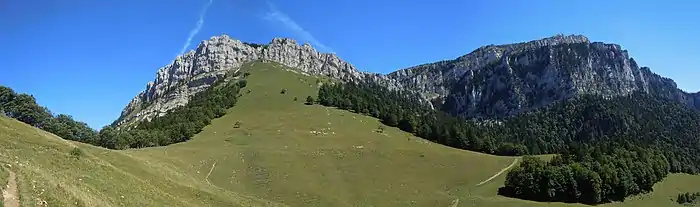
 The Grand Som from the Charmant Som. | |
| Highest point | |
| Elevation | 2,026 m (6,647 ft) |
| Prominence | 887 m (2,910 ft)[1] |
| Coordinates | 45°22′14″N 05°48′43″E |
| Geography | |
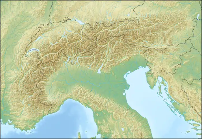 Grand Som Location in the Alps | |
| Location | Isère, France |
| Parent range | Chartreuse Mountains |
Caving
Many chasms are present on the massif: Trou Lisse à Combonne (−303 m), puits de l'Écho (−396 m), gouffre Roland (−481 m), gouffre de Mauvernay (−507 m), gouffre des Aures (−512 m), , but the most important network is the puits Francis (1,565 m) or Réseau de Bovinant of 723 meters deep for 6,836 m of development. Discovered in July 1966 by the caving club of La Tronche (FLT), the siphon at (−688 m) was reached on August 23, 1967. Upper entries were then found.[2]
References
- "Grand Som - peakbagger". peakbagger.com. Retrieved 4 February 2015.
- Jean-Jacques Delannoy; Richard Maire (1984). "Les grandes cavités alpines. Répartition et contexte hydrogéologique". revue Karstologia (in French). p. 63-64. Retrieved 2017-06-13..