Pancheshwar
Pancheshwar is a village development committee in Baitadi District in the Mahakali Zone of western Nepal. At the time of the 1991 Nepal census it had a population of 2,951 and had 510 houses in the village.[1] It is located at the confluence of Sarju and Kali.[2]
Pancheshwar
पञ्चेश्वर | |
|---|---|
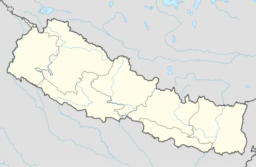 Pancheshwar Location in Nepal | |
| Coordinates: 29.43°N 80.27°E | |
| Country | Nepal |
| Zone | Mahakali Zone |
| District | Baitadi District |
| Population (1991) | |
| • Total | 2,951 |
| • Religions | Hindu |
| Time zone | UTC+5:45 (Nepal Time) |
References
- "Nepal Census 2001". Nepal's Village Development Committees. Digital Himalaya. Retrieved 2008-08-26.
- Negi, S.S. (1993). Kumaun : the land and the people. New Delhi: Indus Pub. Co. p. 195. ISBN 9788185182896. Retrieved 24 May 2017.
Headquarters: Dasharathchand | ||
| Municipalities | 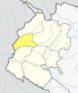 | |
| Rural municipalities | ||
| Former VDCs |
| |
List of municipalities and rural municipalities of Nepal | ||
This article is issued from Wikipedia. The text is licensed under Creative Commons - Attribution - Sharealike. Additional terms may apply for the media files.