Pamidovo Nunatak
Pamidovo Nunatak (Bulgarian: нунатак Памидово, ‘Nunatak Pamidovo’ \'nu-na-tak pa-'mi-do-vo\) is the rocky ridge extending 4.42 km in west-southwest to east-northeast direction, 1.18 km wide, and rising to 1156 m[1] in Voden Heights on Oscar II Coast in Graham Land. It surmounts Fleece Glacier to the southwest. Named after the settlement of Pamidovo in Southern Bulgaria.
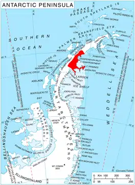
Location of Oscar II Coast on Antarctic Peninsula.
Location
Pamidovo Nunatak is located at 65°52′17″S 62°59′31″W, which is 8.15 km southeast of Mount Izvor, 8.46 km west-northwest of Adit Nunatak, and 10.05 km northeast of Moider Peak. British mapping in 1976.
Maps
- British Antarctic Territory. Scale 1:200000 topographic map. DOS 610 Series, Sheet W 65 62. Directorate of Overseas Surveys, Tolworth, UK, 1976.
- Antarctic Digital Database (ADD). Scale 1:250000 topographic map of Antarctica. Scientific Committee on Antarctic Research (SCAR). Since 1993, regularly upgraded and updated.
Notes
- Reference Elevation Model of Antarctica. Polar Geospatial Center. University of Minnesota, 2019
References
- Pamidovo Nunatak. SCAR Composite Antarctic Gazetteer.
- Bulgarian Antarctic Gazetteer. Antarctic Place-names Commission. (details in Bulgarian, basic data in English)
External links
- Pamidovo Nunatak. Copernix satellite image
This article includes information from the Antarctic Place-names Commission of Bulgaria which is used with permission.
This article is issued from Wikipedia. The text is licensed under Creative Commons - Attribution - Sharealike. Additional terms may apply for the media files.