Osternienburg
Osternienburg is a village and a former municipality in the district of Anhalt-Bitterfeld, in Saxony-Anhalt, Germany. Since 1 January 2010, it is part of the municipality Osternienburger Land. It is situated approximately 6 km northeast of Köthen (Anhalt), and 15 km west of Dessau-Rosslau.
Osternienburg | |
|---|---|
 Coat of arms | |
Location of Osternienburg | |
 Osternienburg 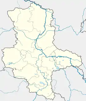 Osternienburg | |
| Coordinates: 51°48′N 12°2′E | |
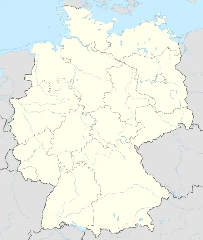
| Country | Germany |
| State | Saxony-Anhalt |
| District | Anhalt-Bitterfeld |
| Municipality | Osternienburger Land |
| Area | |
| • Total | 12.66 km2 (4.89 sq mi) |
| Elevation | 67 m (220 ft) |
| Population (2016) | |
| • Total | 1,839 |
| • Density | 150/km2 (380/sq mi) |
| Time zone | UTC+01:00 (CET) |
| • Summer (DST) | UTC+02:00 (CEST) |
| Postal codes | 06386 |
| Dialling codes | 034973 |
| Website | www.vg-osternienburg.de |
This article is issued from Wikipedia. The text is licensed under Creative Commons - Attribution - Sharealike. Additional terms may apply for the media files.