Ocampo Municipality, Coahuila
Ocampo is one of the 38 municipalities of Coahuila, in north-eastern Mexico, and the largest by area. The municipal seat lies at Ocampo. The municipality covers an area of 26,433 km² and is located on the international border between Mexico and the USA, here formed by the Río Bravo del Norte (Rio Grande), adjacent to the U.S. state of Texas.
Ocampo | |
|---|---|
 Seal | |
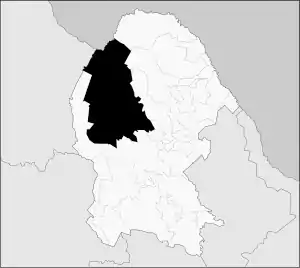 Municipality of Ocampo in Coahuila | |
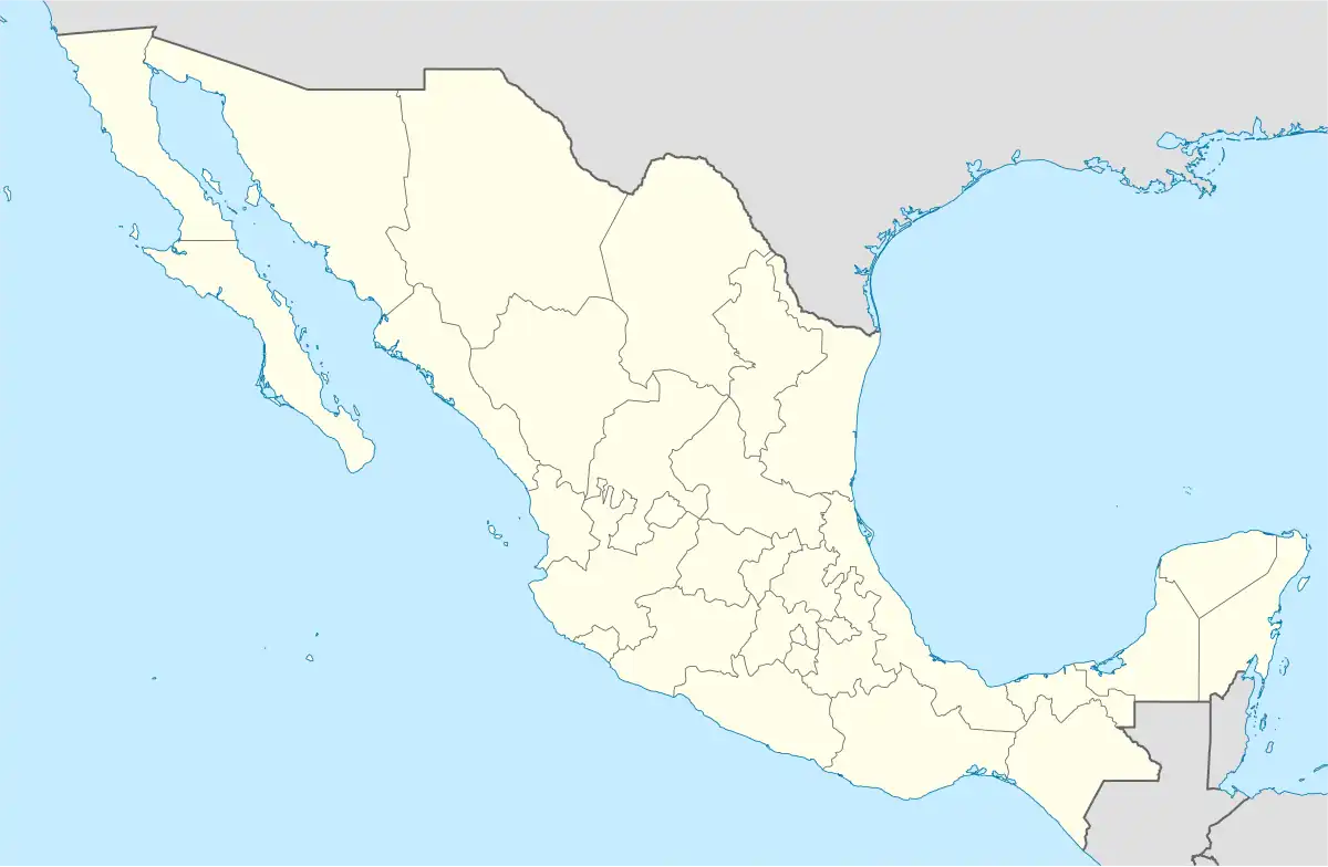 Ocampo Location in Mexico | |
| Coordinates: 27°18′50″N 102°23′50″W | |
| Country | |
| State | Coahuila |
| Municipal seat | Ocampo |
| Area | |
| • Total | 26,433 km2 (10,206 sq mi) |
| Population (2010) | |
| • Total | 10,991 |
In 2010, the municipality had a total population of 10,991.[1]
Towns and villages
The largest localities (cities, towns, and villages) are:
| Name | 2010 Census Population |
|---|---|
| Ocampo | 3,679 |
| Laguna del Rey (Químicas del Rey) | 2,651 |
| Chula Vista | 1,671 |
| San Miguel | 259 |
| La Rosita | 257 |
| Boquillas del Carmen | 110 |
| Total Municipality | 10,991 |
Adjacent municipalities and counties
- Acuña Municipality - northeast
- Múzquiz Municipality - northeast
- San Buenaventura Municipality - east
- Nadadores Municipality - southeast
- Lamadrid Municipality - southeast
- Cuatrociénegas Municipality - south
- Sierra Mojada Municipality - west
- Camargo Municipality, Chihuahua - west
- Manuel Benavides Municipality, Chihuahua - northwest
- Brewster County, Texas - north
References
- 2010 census tables: INEGI Archived 2013-05-02 at the Wayback Machine accessdate=April 29, 2011
Places adjacent to Ocampo Municipality, Coahuila | |
|---|---|

This article is issued from Wikipedia. The text is licensed under Creative Commons - Attribution - Sharealike. Additional terms may apply for the media files.