Oberlauringen
Oberlauringen, with 680 inhabitants is part of the municipality Stadtlauringen in the district of Schweinfurt in Lower Franconia, Bavaria, Germany.
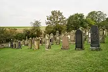
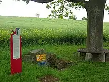
Jüdischer Friedhof
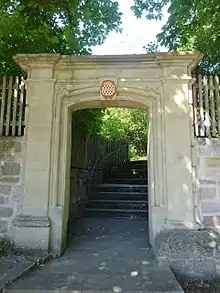
Rückertpforte
Oberlauringen | |
|---|---|
Location of Oberlauringen | |
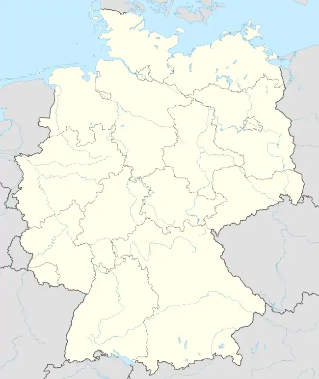 Oberlauringen 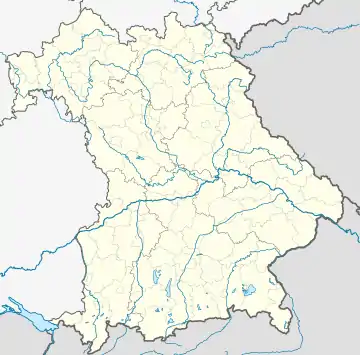 Oberlauringen | |
| Coordinates: 50°12′58″N 10°22′44″E | |
| Country | Germany |
| State | Bavaria |
| Admin. region | Lower Franconia |
| District | Schweinfurt |
| Municipality | Stadtlauringen |
| Elevation | 325 m (1,066 ft) |
| Time zone | UTC+01:00 (CET) |
| • Summer (DST) | UTC+02:00 (CEST) |
| Postal codes | 97488 |
| Dialling codes | 09724 |
Die Lauerquelle, genannt das "Storchenbrünnle"
History
On May 1, 1978, the previously independent municipality was incorporated into the Stadtlauringen market.[1]
References
- Historisches Gemeindeverzeichnis für die Bundesrepublik Deutschland. Namens-, Grenz- und Schlüsselnummernänderungen bei Gemeinden, Kreisen und Regierungsbezirken vom 27. 5. 1970 bis 31. 12. 1982. W. Kohlhammer GmbH. p. 753. ISBN 3-17-003263-1.
This article is issued from Wikipedia. The text is licensed under Creative Commons - Attribution - Sharealike. Additional terms may apply for the media files.