Abdy
Abdy is a hamlet in South Yorkshire, England.[1] Abdy is located about 2 miles (3.2 km) west of Swinton.
| Abdy | |
|---|---|
.jpg.webp) Abdy Farm | |
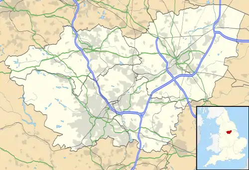 Abdy Location within South Yorkshire | |
| OS grid reference | SK4398 |
| Metropolitan borough | |
| Metropolitan county | |
| Region | |
| Country | England |
| Sovereign state | United Kingdom |
| Post town | ROTHERHAM |
| Postcode district | S62 |
| Police | South Yorkshire |
| Fire | South Yorkshire |
| Ambulance | Yorkshire |
The earliest reference to Abdy is in the 13th century in the cartulary of Monk Bretton Priory. It is possible that it was founded as a medieval grange and that its name is derived from the French for abbey (in this case Monk Bretton Priory or Roche Abbey).[2]
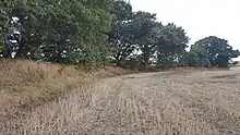
Section of Roman earthworks near Abdy
Earthworks for a Roman Ridge Dyke runs along the southern and eastern sides of Abdy.[1][3] To the north of the village is Wath Golf Course.[2]
References
- Ordnance Survey: Landranger map sheet 111 Sheffield & Doncaster (Rotherham, Barnsley & Thorne) (Map). Ordnance Survey. 2014. ISBN 9780319229354.
- "Rotherham Character Zone Descriptions" (PDF). South Yorkshire Historic Environment Characterisation. pp. 446–7. Retrieved 23 December 2016.
- Historic England. "Roman Ridge: section 400yds (370m) long S of Abdy Farm (1004810)". National Heritage List for England. Retrieved 23 December 2016.
This article is issued from Wikipedia. The text is licensed under Creative Commons - Attribution - Sharealike. Additional terms may apply for the media files.