Neighborhoods in Worcester, Massachusetts
The city of Worcester, Massachusetts consists of six regions: North Worcester, West Side, East Side, Central City, Downtown, and South Worcester. It can be further subdivided into smaller neighborhoods:[1]
| North Worcester | West Side | East Side | Central | Downtown | South Worcester |
|---|---|---|---|---|---|
| Greendale | Forest Grove | Great Brook Valley | Elm Park | Lincoln Square[2] | Webster Square |
| Burncoat | Salisbury Street | Booth Apartments Area | Crown Hill/Piedmont | Federal Square[2] | South Worcester (proper) |
| Indian Hill | Tatnuck | Brittan Square | Main Middle | Worcester Common | Cambridge Street[2] |
| Indian Lake East | West Tatnuck | Biotech Park Area | Beacon Brightly | Hadwen Park | |
| North Lincoln Street | Mill Street[2] | Green Hill Park[3] | University Park | Main South[2] | |
| The Summit[4] | Newton Square | Bell Hill | Lincoln Estate | Green Island | |
| Beaver Brook Area | Laurel/Clayton | Canal District[5] | |||
| Cider Mill | Shrewsbury Street | Kelley Square/Water Street[2] | |||
| Columbus Park | Lake Park | College Hill | |||
| Worcester Regional Airport[2] | Franklin/Plantation | Broadmeadow Brook | |||
| Mass Ave | Hamilton | Quinsigamond Village | |||
| Montvale | Union Hill | ||||
| Hammond Heights | Grafton Hill | ||||
| Vernon Hill |
Others:
- Sunderland/Massasoit Road/Rice Square spans Union Hill, Grafton Hill, and Broadmeadow Brook.[2]
- Lake Avenue/Quinsigamond Lake spans several neighborhoods in South Worcester and East Worcester.[2]
- Park Ave skirts the eastern edge of West Worcester.[2]
- The Edgemere neighborhood is primarily in neighboring Shrewsbury, Massachusetts.[2]
- The Arts District spans several neighborhoods in Central City.[3]
Photo gallery
Central
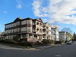
 Wellington Street
Downtown
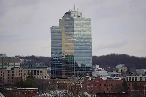
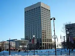
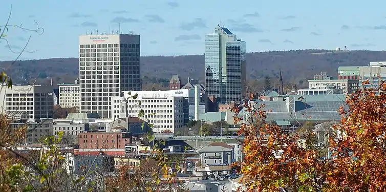 Downtown Skyline
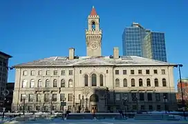
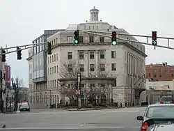 Federal Square
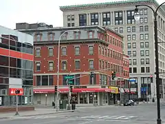 Harrington Corner
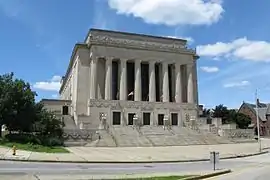 Lincoln Square
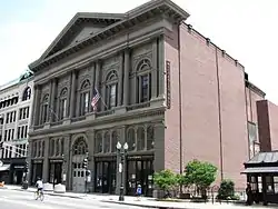
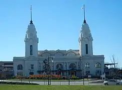 Union Station/ Washington Square
East Side
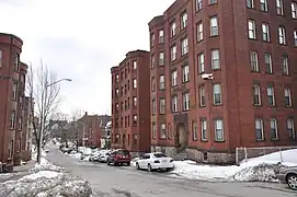
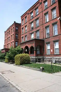
 Houghton Street
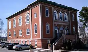
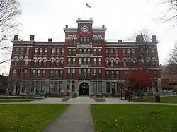
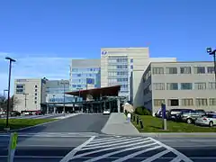 UMass Memorial Medical Center
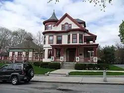
North Worcester
 Greendale
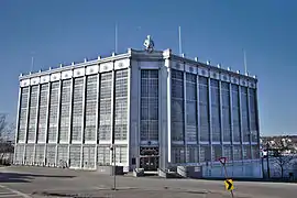
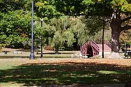
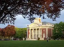
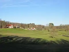 Worcester Country Club
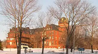 Odd Fellows' Home
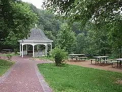 Dodge Park
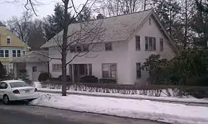
South Worcester
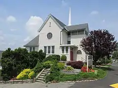
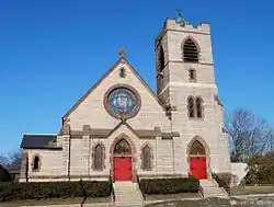 St. Matthews (Southbridge Street)
West Side
 Lenox Street
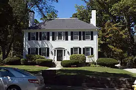
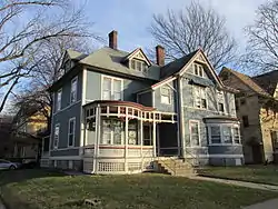
 Tatnuck School
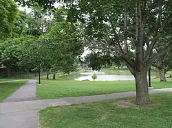
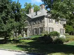 Westwood Hills
References
- "Worcester Community Indicators". clarku.edu.
- Geolocated on Google Maps, 2013-08-12
- "Worcester, MA Neighborhood Map - Income, House Prices, Occupations - list of neighborgoods". city-data.com.
- "Sandrof, Ivan. "Your Worcester Street." Franklin Publishing, 1948. p.143" (PDF).
- "Plaid Friday: Shop Local". theswapaholics.com.
This article is issued from Wikipedia. The text is licensed under Creative Commons - Attribution - Sharealike. Additional terms may apply for the media files.